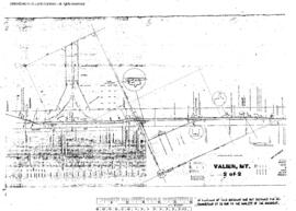
Plat Map of Milwaukee Road, Great Northern facilities at Valier, Montana, November 1, 1971, Drawing Number 61717, Sheet Number 2, Line Segment 361, showing the Valier Junction-Valier line.
Plat Map of Milwaukee Road, Great Northern facilities at Valier, Montana, November 1, 1971, Drawing Number 61717, Sheet Number 1, Line Segment 361, showing the Valier Junction-Valier line.
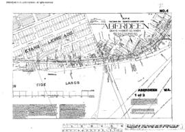
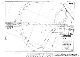
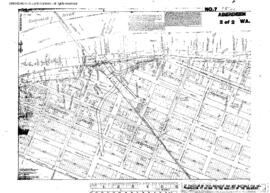
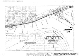
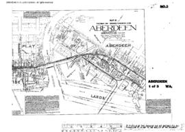
Plat Map of Northern Pacific facilities at Aberdeen , Washington, October 11, 1913, Sheet Number 1, Line Segment 610, showing the Aberdeen yard, Wishkah bridge.
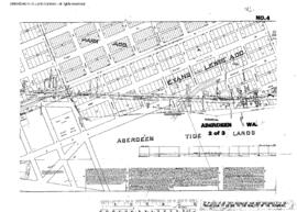
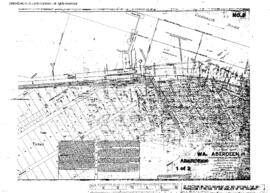
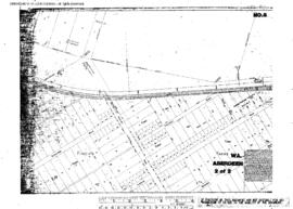
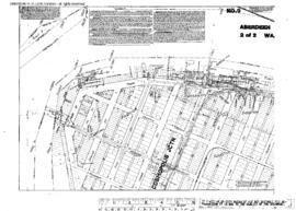
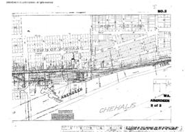
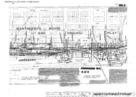
Plat Map of Northern Pacific facilities at Aberdeen , Washington, October 11, 1913, Sheet Number 2, Line Segment 610, showing the Aberdeen yard, depot, Union Pacific bridge, industry spurs.
Plat Map of Northern Pacific facilities at Aberdeen , Washington, October 11, 1913, Sheet Number 2, Line Segment 610, showing the Aberdeen yard, west end.
Plat Map of Northern Pacific facilities at Aberdeen , Washington, October 11, 1913, Sheet Number 1, Line Segment 610, showing the Aberdeen yard, industry spurs.
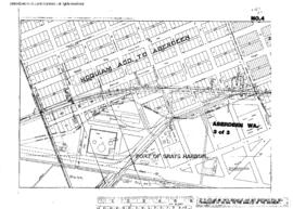
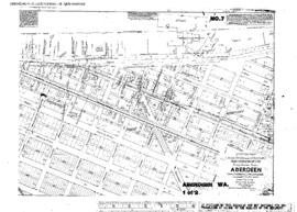
Plat Map of Northern Pacific facilities at Aberdeen , Washington, October 11, 1913, Sheet Number 3, Line Segment 610, showing the Aberdeen yard, industry spurs.
Plat Map of Northern Pacific facilities at Aberdeen , Washington, October 11, 1913, Sheet Number 3, Line Segment 610, showing the Aberdeen yard, west end.
Plat Map of Northern Pacific facilities at Aberdeen , Washington, October 9, 1916, Sheet Number 1, Line Segment 610, showing the Aberdeen Junction.
Plat Map of Northern Pacific facilities at Aberdeen , Washington, October 16, 1916, Sheet Number 2, Line Segment 422, 610, showing the South Aberdeen Junction-Markhamÿline.
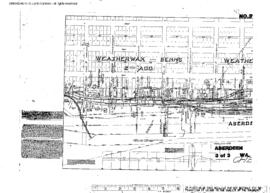
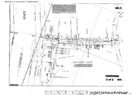
Plat Map of Northern Pacific facilities at Aberdeen , Washington, October 9, 1916, Sheet Number 2, Line Segment 610, showing the Aberdeen yard, Junction City.
Plat Map of Northern Pacific facilities at Aberdeen , Washington, October 16, 1916, Sheet Number 1, Line Segment 422, 610, showing the South Aberdeen Junction-Markham line, South Aberdeen.
Plat Map of Northern Pacific facilities at Aberdeen , Washington, October 16, 1916, Sheet Number 1, Line Segment 422, 610, showing the South Aberdeen Junction-Markham line, Union Pacific bridge.
Plat Map of Northern Pacific facilities at Aberdeen , Washington, October 16, 1916, Sheet Number 2, Line Segment 422, 610, showing the South Aberdeen Junction-Markham line.
Plat Map of Northern Pacific facilities at Aberdeen , Washington, February 6, 1917, Sheet Number 1, Line Segment 610, showing the Cosmopolis yard.
Plat Map of Northern Pacific facilities at Aberdeen , Washington, February 6, 1917, Sheet Number 2, Line Segment 610, showing the Cosmopolis Junction.
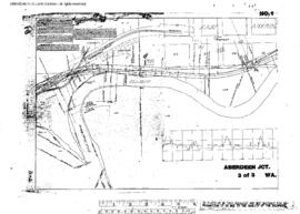
Plat Map of Northern Pacific facilities at Aberdeen Junction, Washington, October 11, 1913, Sheet Number 1, Line Segment 610, showing the Aberdeen yard, east end.
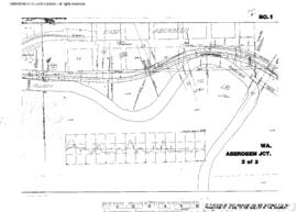
Plat Map of Northern Pacific facilities at Aberdeen Junction, Washington, October 11, 1913, Sheet Number 3, Line Segment 610, showing the Aberdeen yard, east end.
Plat Map of Northern Pacific facilities at Aberdeen Junction, Washington, October 11, 1913, Sheet Number 1, Line Segment 402, showing the Saint Clair-Moclips line.
Plat Map of Northern Pacific facilities at Aberdeen Junction, Washington, October 11, 1913, Sheet Number 2, Line Segment 610, showing the Aberdeen yard, east end.
Plat Map of Northern Pacific facilities at Aberdeen Junction, Washington, undated, Sheet Number 2, Line Segment 402, showing the Saint Clair-Moclips line.
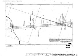
Plat Map of Northern Pacific facilities at Acme, Washington, May 5, 1923, Sheet Number 3, Line Segment 403, showing the Seattle-Sumas line.
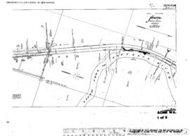
Plat Map of Northern Pacific facilities at Acme, Washington, May 5, 1923, Sheet Number 1, Line Segment 403, showing the Seattle-Sumas line.
Plat Map of Northern Pacific facilities at Acme, Washington, May 5, 1923, Sheet Number 2, Line Segment 403, showing the Seattle-Sumas line.
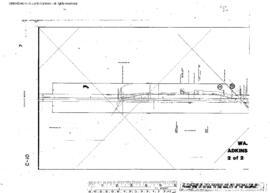
Plat Map of Northern Pacific facilities at Adkins, Washington, April 26, 1912, Sheet Number 2, Line Segment 450, showing the Ainsworth Junction-Dayton line.
Plat Map of Northern Pacific facilities at Adkins, Washington, April 26, 1912, Sheet Number 1, Line Segment 450, showing the Ainsworth Junction-Dayton line.
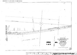
Plat Map of Northern Pacific facilities at Adna, Washington, February 8, 1916, Sheet Number 1, Line Segment 420, showing the Chehalis-South Bend line.
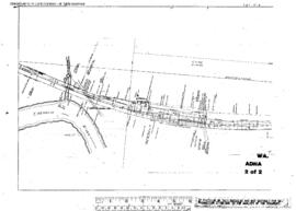
Plat Map of Northern Pacific facilities at Adna, Washington, February 8, 1916, Sheet Number 2, Line Segment 420, showing the Chehalis-South Bend line.
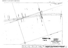
Plat Map of Northern Pacific facilities at Agency, Montana, December 6, 1918, Sheet Number 1, Line Segment 334, showing the Dixon-Polson line.
Plat Map of Northern Pacific facilities at Agency, Montana, December 6, 1918, Sheet Number 2, Line Segment 334, showing the Dixon-Polson line.