US WaBuPNRA D0027-002-009-008-001-BB030694
·
Item
·
undated
Part of Timothy Miller Collection
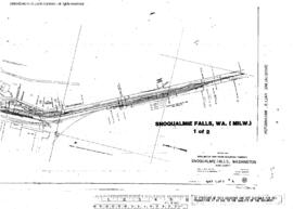
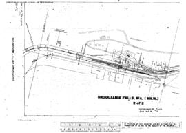
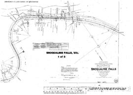
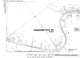
Milwaukee Road Engineering Drawing: Top Laterals, Bridge 10.4 (FF836B) - Snoqualmie River, Snoqualmie Falls, Washington, Line Segment 398, Milepost 10.4. Sheet 391 - 8648 - 15, undated.