Plat Map of Pacific Coast Railroad facilities at Seattle, Washington, January 14, 1972, Sheet Number 8, showing the East Marginal Way, industry spurs, aerial survey map.
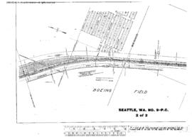
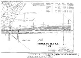
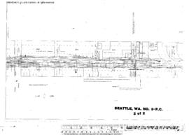
Plat Map of Pacific Coast Railroad facilities at Seattle, Washington, April 1, 1916, Sheet Number 2, Line Segment 410, showing the Spokane Street-Maple Valley line, Argo Yard, north end, East Marginal Way.
Plat Map of Pacific Coast Railroad facilities at Seattle, Washington, April 1, 1916, Sheet Number 2, Line Segment 410, showing the Spokane Street-Maple Valley line, Argo Yard,ÿeast end, interlocking.
Plat Map of Pacific Coast Railroad facilities at Seattle, Washington, April 1, 1916, Sheet Number 1, Line Segment 623, showing the Stacy Street, ColoradoÿAvenue Yard, South Massachusetts Street-South Charles Street, dock spurs.
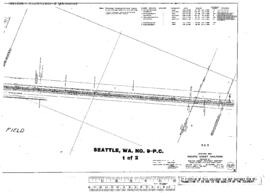
Plat Map of Pacific Coast Railroad facilities at Seattle, Washington, April 1, 1916, Sheet Number 1, Line Segment 410, showing the Spokane Street-Maple Valley line, Argo interlocking.
Plat Map of Pacific Coast Railroad facilities at Seattle, Washington, April 1, 1916, Sheet Number 2, Line Segment 410, showing the Spokane Street-Maple Valley line, Milwaukee Road Van Asselt, south end.
Plat Map of Pacific Coast Railroad facilities at Seattle, Washington, April 1, 1916, Sheet Number 2, Line Segment 623, showing the Stacy Street, South Connecticut Street-South Main Street, dock spurs.
Plat Map of Pacific Coast Railroad facilities at Seattle, Washington, April 1, 1916, Sheet Number 1, Line Segment 410, showing the Spokane Street-Maple Valley line, Airport Way, Milwaukee Road Van Asselt Yard.
Plat Map of Pacific Coast Railroad facilities at Seattle, Washington, April 1, 1916, Sheet Number 2, Line Segment 410, showing the Spokane Street-Maple Valley line, Georgetown.
Plat Map of Pacific Coast Railroad facilities at Seattle, Washington, April 1, 1916, Sheet Number 1, Line Segment 623, showing the Stacy Street, ColoradoÿAvenue Yard, South Spokane Street-South Lander Street.
Plat Map of Pacific Coast Railroad facilities at Seattle, Washington, April 1, 1916, Sheet Number 2, Line Segment 623, showing the Stacy Street, Colorado Avenue Yard, South Forest Street-South Holgate Street.
Plat Map of Pacific Coast Railroad facilities at Seattle, Washington, April 1, 1916, Sheet Number 1, Line Segment 410, showing the Spokane Street-Maple Valley line, Argo Yard,ÿwest end.
Plat Map of Pacific Coast Railroad facilities at Seattle, Washington, April 1, 1916, Sheet Number 1, Line Segment 410, showing the Spokane Street-Maple Valley line, south Seattle.
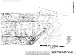
Plat Map of Oregon Western Railroad and Navigation Company facilities at Seattle, Washington, undated, Sheet Number 1, showing the Harbor Island, south end, East and West waterways, industry spurs.
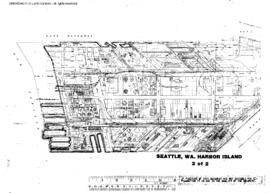
Plat Map of Oregon Western Railroad and Navigation Company facilities at Seattle, Washington, undated, Sheet Number 2, showing the Harbor Island,ÿnorth end, East and West waterways, industry spurs.
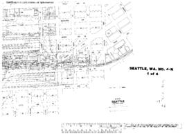
Plat Map of Northern Pacific facilities at Seattle, Washington, undated, Sheet Number 1, Line Segment 622, showing the King Street Station, Northern Pacific and Great Northern freighthouses,ÿUnion Station.
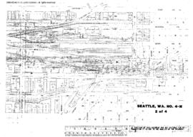
Plat Map of Northern Pacific facilities at Seattle, Washington, undated, Sheet Number 2, Line Segment 622, showing the King Street Station, Northern Pacific and Great Northern freighthouses, team tracks, Union Station.
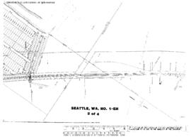
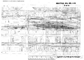
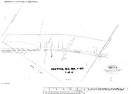
Plat Map of Northern Pacific facilities at Seattle, Washington, undated, Sheet Number 4, Line Segment 430, 623, showing the Seattle-Argo line, SpokaneÿYard, Spokane Street line, East Marginal Way, industry and dock spurs.
Plat Map of Northern Pacific facilities at Seattle, Washington, undated, Sheet Number 1, showing the West Seattle, Iowa Avenue Southwest,ÿindustry spurs.
Plat Map of Northern Pacific facilities at Seattle, Washington, undated, Sheet Number 2, showing the West Marginal Way, industry spurs.
Plat Map of Northern Pacific facilities at Seattle, Washington, undated, Sheet Number 2, Line Segment 51, showing the Seattle-Tacoma line, south Seattle.
Plat Map of Northern Pacific facilities at Seattle, Washington, undated, Sheet Number 3, Line Segment 622, showing the King Street, coach yard, team tracks, Union Station leads.
Plat Map of Northern Pacific facilities at Seattle, Washington, undated, Sheet Number 1, Line Segment 403, showing the Seattle-Sumas line, waterfront, South Dearborn Street-South Atlantic Street, dock spurs.
Plat Map of Northern Pacific facilities at Seattle, Washington, undated, Sheet Number 1, showing the West Seattle Yard, Elevator Yard.
Plat Map of Northern Pacific facilities at Seattle, Washington, undated, Sheet Number 2, showing the West Seattle Yard,ÿIowa Avenue Southwest, Bethlehem Steel trackage.
Plat Map of Northern Pacific facilities at Seattle, Washington, undated, Sheet Number 1, Line Segment 403, showing the Ballard line, 15th Avenue Northwest-24th Avenue Northwest.
Plat Map of Northern Pacific facilities at Seattle, Washington, undated, Sheet Number 1, Line Segment 403, showing the Seattle-Sumas line, Lake Union line, 15th Avenue West-West Jesse Street.
Plat Map of Northern Pacific facilities at Seattle, Washington, undated, Drawing Number NO.17-N, Sheet Number 1, Line Segment 403, showing the Seattle-Sumas line, Interbay, 15th Avenue West-18th Avenue West.
Plat Map of Northern Pacific facilities at Seattle, Washington, undated, Sheet Number 1, Line Segment 51, showing the Seattle-Tacoma line, Georgetown-south Seattle.
Plat Map of Northern Pacific facilities at Seattle, Washington, undated, Sheet Number 3, Line Segment 51, showing the Seattle-Tacoma line, south Seattle.