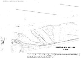
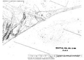
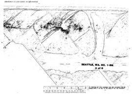
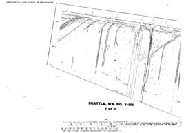
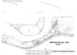
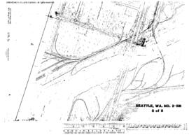
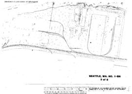
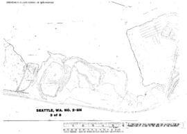
Plat Map of Burlington Northern facilities at Seattle, Washington, undated, Drawing Number 02200, Sheet Number 1/Index, Line Segment 619, showing the City map, north end.
Plat Map of Burlington Northern facilities at Seattle, Washington, undated, Drawing Number 02200, Sheet Number 2/Index, Line Segment 619, showing the City map, south end.
Plat Map of Pacific Coast Railroad facilities at Seattle, Washington, undated, Sheet Number 1/Index, Line Segment , showing the City map.
Plat Map of Burlington Northern facilities at Seattle, Washington, January 14, 1972, Sheet Number 4, showing the East Marginal Way, industry spurs, aerial survey map.
Plat Map of Burlington Northern facilities at Seattle, Washington, January 14, 1972, Sheet Number 5, showing the East Marginal Way, industry spurs, aerial survey map.
Plat Map of Burlington Northern facilities at Seattle, Washington, January 17, 1972, Sheet Number 2, showing the West Marginal Way, Duwamish River, aerial survey map.
Plat Map of Burlington Northern facilities at Seattle, Washington, January 17, 1972, Sheet Number 7, showing the West Marginal Way, Duwamish drawbridge, industry spurs, aerial survey map.
Plat Map of Burlington Northern facilities at Seattle, Washington, January 14, 1972, Sheet Number 2, showing the East Marginal Way, industry spurs, aerial survey map.
Plat Map of Burlington Northern facilities at Seattle, Washington, January 14, 1972, Sheet Number 7, showing the East Marginal Way, industry spurs, aerial survey map.
Plat Map of Burlington Northern facilities at Seattle, Washington, January 17, 1972, Sheet Number 1, showing the West Marginal Way, Duwamish River, aerial survey map.
Plat Map of Burlington Northern facilities at Seattle, Washington, January 17, 1972, Sheet Number 5, showing the West Marginal Way, Duwamish River, industry spur, aerial survey map.
Plat Map of Burlington Northern facilities at Seattle, Washington, January 17, 1972, Sheet Number 8, showing the West Marginal Way, Harbor Island south end, Duwamish drawbridge, industry spurs, aerial survey map.
Plat Map of Burlington Northern facilities at Seattle, Washington, January 14, 1972, Sheet Number 3, showing the East Marginal Way, Boeing and industry spurs, aerial survey map.
Plat Map of Burlington Northern facilities at Seattle, Washington, January 17, 1972, Sheet Number 3, showing the West Marginal Way, Duwamish River, aerial survey map.
Plat Map of Burlington Northern facilities at Seattle, Washington, November 14, 1972, Sheet Number 1, showing the East Marginal Way, Boeing andÿindustry spurs, aerial survey map.
Plat Map of Burlington Northern facilities at Seattle, Washington, January 14, 1972, Sheet Number 6, showing the East Marginal Way, industry spurs, aerial survey map.
Plat Map of Burlington Northern facilities at Seattle, Washington, January 17, 1972, Sheet Number 4, showing the West Marginal Way, Duwamish River, aerial survey map.
Plat Map of Burlington Northern facilities at Seattle, Washington, January 17, 1972, Sheet Number 6, showing the West Marginal Way, Duwamish River, aerial survey map.
Plat Map of Burlington Northern facilities at Seattle, Washington, undated, Sheet Number 3, Line Segments 470, 620, showing the Balmer Yard,ÿsouth end, Naval Supply Depot trackage.
Plat Map of Burlington Northern facilities at Seattle, Washington, undated, Sheet Number 4, Line Segment 620, showing the Balmer Yard, south end, Smith Cove piers.
Plat Map of Burlington Northern facilities at Seattle, Washington, undated, Sheet Number 2, Line Segment 622, showing the King Street Station, coach yard, car sheds, 7th Avenue South, Union Pacific/Milwaukee Road trackage.
Plat Map of Burlington Northern facilities at Seattle, Washington, undated, Sheet Number 4, Line Segment 51, 410, showing the Seattle-Tacoma line, South Seattle Yard.
Plat Map of Burlington Northern facilities at Seattle, Washington, undated, Sheet Number 1, Line Segment 622, showing the King Street Station, Union Station.
Plat Map of Burlington Northern facilities at Seattle, Washington, undated, Sheet Number 1, Line Segment 403, 619, showing the Waterfront, grain terminal.
Plat Map of Burlington Northern facilities at Seattle, Washington, undated, Sheet Number 3, Line Segment 403, 619, showing the Waterfront, Thomas Street-Vine Street.
Plat Map of Burlington Northern facilities at Seattle, Washington, undated, Sheet Number 3, Line Segment 51, 410, showing the Seattle-Tacoma line, Allentown/South Seattle Yard.
Plat Map of Burlington Northern facilities at Seattle, Washington, undated, Sheet Number 1, Line Segments 470, 620, showing the Balmer Yard, north end, Interbay roundhouse.
Plat Map of Burlington Northern facilities at Seattle, Washington, undated, Sheet Number 2, Line Segments 470, 620, showing the Balmer Yard.
Plat Map of Burlington Northern facilities at Seattle, Washington, undated, Sheet Number 2, Line Segment 403, 619, showing the Waterfront, grain terminal.
Plat Map of Burlington Northern facilities at Seattle, Washington, undated, Sheet Number 4, Line Segment 403, 619, showing the Waterfront, Vine Street-Virginia Street, North Portal.