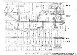
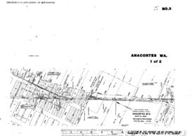
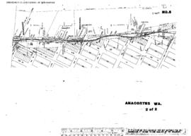
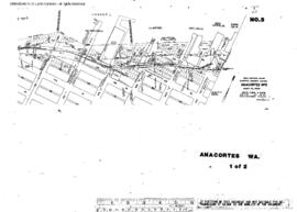
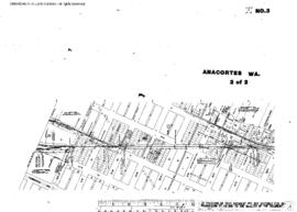
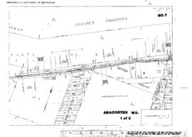
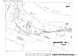
Plat Map of Great Northern facilities at Anacortes, Washington, January 1, 1957, Sheet Number 4/Index, Line Segment 413, showing the Anacortes-Shannon Point line.
Plat Map of Great Northern facilities at Anacortes, Washington, January 1, 1957, Sheet Number 1/Index, Line Segment 409, showing the Concrete-Anacortes line.
Plat Map of Great Northern facilities at Anacortes, Washington, January 1, 1957, Sheet Number 2/Index, Line Segment 409, showing the Concrete-Anacortes line.
Plat Map of Great Northern facilities at Anacortes, Washington, January 1, 1957, Sheet Number 3/Index, Line Segment 409. 413, showing the Concrete-Anacortes line, Anacortes-Shannon Point line.
Plat Map of Great Northern facilities at Anacortes, Washington, June 20, 1902, Sheet Number 1, Line Segment 409, showing the Concrete-Anacortes line, waterfront, industry spur.
Plat Map of Great Northern facilities at Anacortes, Washington, June 1, 1919, Sheet Number 1, Line Segment 413, showing the Anacortes-Shannon Point line.
Plat Map of Great Northern facilities at Anacortes, Washington, June 1, 1919, Sheet Number 2, Line Segment 413, showing the Anacortes-Shannon Point line.
Plat Map of Great Northern facilities at Anacortes, Washington, June 1, 1920, Sheet Number 2, Line Segment 409, showing the Concrete-Anacortes line, Fidalgo Waterway to Weaverling Spit (partial).
Plat Map of Great Northern facilities at Anacortes, Washington, June 1, 1920, Sheet Number 1, Line Segment 409, showing the Concrete-Anacortes line, waterfront, industry spurs.
Plat Map of Great Northern facilities at Anacortes, Washington, June 1, 1920, Sheet Number 1, Line Segment 409, showing the Concrete-Anacortes line, Fidalgo Waterway to Weaverling Spit.
Plat Map of Great Northern facilities at Anacortes, Washington, June 1, 1920, Sheet Number 2, Line Segment 409, showing the Concrete-Anacortes line, waterfront, industry spurs.
Plat Map of Great Northern facilities at Anacortes, Washington, November 1, 1963, Sheet Number 1, Line Segment 409, showing the Concrete-Anacortes line, downtown, industry spurs.
Plat Map of Great Northern facilities at Anacortes, Washington, November 1, 1963, Sheet Number 2, Line Segment 409, 413, showing the Concrete-Anacortes line, downtown yard, industry spurs; Anacortes-Shannon Point line.
Plat Map of Great Northern facilities at Anacortes, Washington, October 1, 1967, Sheet Number 1, Line Segment 409, showing the Concrete-Anacortes line, downtown, industry spurs.
Plat Map of Great Northern facilities at Anacortes, Washington, May 1, 1967, Sheet Number 2, Line Segment 413, showing the Anacortes-Shannon Point line.
Plat Map of Great Northern facilities at Anacortes, Washington, May 1, 1967, Sheet Number 1, Line Segment 413, showing the Anacortes-Shannon Point line.
Plat Map of Great Northern facilities at Anacortes, Washington, October 1, 1967, Sheet Number 2, Line Segment 409, showing the Concrete-Anacortes line, downtown, industry spurs.
Plat Map of Great Northern facilities at Anacortes, Washington, undated, Sheet Number 1, Line Segment 413, showing the Anacortes-Shannon Point line.
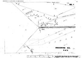
Plat Map of Great Northern facilities at Anacortes, Washington, undated, Sheet Number 2, Line Segment 413, showing the Anacortes-Shannon Point line, Ship Harbor.
The Sanborn Fire Map and Index for Anacortes, Washington, October, 1925, revised May, 1944.
A Sanborn Fire Map of Anacortes, Washington showing Great Northern right of way dated October, 1925, revised 1950, Sheet 2.
A Sanborn Fire Map of Anacortes, Washington showing Great Northern right of way dated October, 1925, revised 1950, Sheet 7.
A Sanborn Fire Map of Anacortes, Washington showing Great Northern right of way dated October, 1925, revised 1950, Sheet 10.
A Sanborn Fire Map of Anacortes, Washington showing Great Northern right of way dated October, 1925, revised 1950, Sheet 17.
A Sanborn Fire Map of Anacortes, Washington showing Great Northern right of way dated October, 1925, revised 1950, Sheet 19.
A Sanborn Fire Map of Anacortes, Washington showing Great Northern right of way dated October, 1925, revised 1950, Sheet 20.
A Sanborn Fire Map of Anacortes, Washington showing Great Northern right of way dated October, 1925, revised 1950, Sheet 5.
A Sanborn Fire Map of Anacortes, Washington showing Great Northern right of way dated October, 1925, revised 1950, Sheet 4.
A Sanborn Fire Map of Anacortes, Washington showing Great Northern right of way dated October, 1925, revised 1950, Sheet 21.