Great Northern Blueprint Number 1207-29, map of Proposed Transfer Track between Canadian Pacific and Vancouver, Victoria & Eastern at BC Junction, undated. Other subject categories: Filing Map
Great Northern Blueprint Number 1631-3-12, map of Crow's Nest Southern Railway through Lot 5251 Kootenay District, 1915. Other subject categories: Filing Map
Great Northern Blueprint Number 1312-39-1, map of Abbotsford Crossing, also Profile, 1911. Other subject categories: Filing Map
Great Northern Blueprint Number 1340-20, map of Transmission Line Crossing, Map and Elevation, 1911. Other subject categories: Filing Map
Great Northern Blueprint Number 1312-39-2, map of Abbotsford Crossing, also Profile, 1911. Other subject categories: Filing Map
Great Northern Blueprint Number 1613-13, map of British Columbia Telephone Crossing on Oscar Street, 1913. Other subject categories: Filing Map
Great Northern Blueprint Number 1626-5-2, map of Kettle Valley Revision of Location Line through Hope, 1914. Other subject categories: Filing Map
Great Northern Blueprint Number 1626-5-1, map of Kettle Valley Street Crossing in Hope, 1914. Other subject categories: Filing Map
Great Northern Blueprint Number 1626-5-3, map of Kettle Valley Proposed Crossing of Canadian Northern Pacific at Hope, 1915. Other subject categories: Filing Map
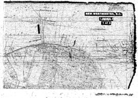
Plat Map of Great Northern facilities at New Westminster, British Columbia, undated, Sheet Number 1/Index, Line Segment 602, showing the New Westminster area.
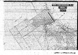
Plat Map of Great Northern facilities at New Westminster, British Columbia, undated, Sheet Number 2/Index, Line Segment 602, showing the New Westminster area.
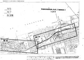
Plat Map of Great Northern facilities at Vancouver, British Columbia, March 1, 1966, Sheet Number 1/Index, Line Segment 600, showing the Yard and industry track, Commercial Avenue-Gilmore Avenue.
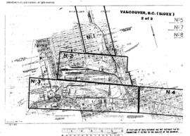
Plat Map of Great Northern facilities at Vancouver, British Columbia, March 1, 1966, Sheet Number 2/Index, Line Segment 600, showing the Great Northern, Canadian National depots, yards, Burrard Inlet line.
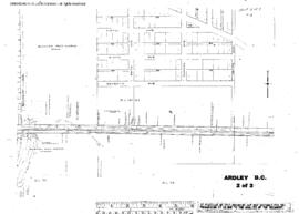
Plat Map of Great Northern facilities at Ardley, British Columbia, May 2, 1911, Sheet Number 2, Line Segment 56, showing the Vancouver-White Rock line.
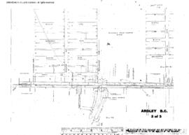
Plat Map of Great Northern facilities at Ardley, British Columbia, May 2, 1911, Sheet Number 3, Line Segment 56, showing the Vancouver-White Rock line.
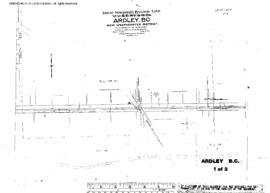
Plat Map of Great Northern facilities at Ardley, British Columbia, May 2, 1911, Sheet Number 1, Line Segment 56, showing the Vancouver-White Rock line.
Plat Map of Great Northern facilities at Benton Spur, British Columbia, October 1, 1914, Sheet Number 1, Line Segment 391, showing the Nelson-Boundary line.
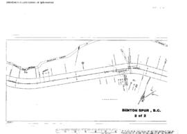
Plat Map of Great Northern facilities at Benton Spur, British Columbia, October 1, 1914, Sheet Number 2, Line Segment 391, showing the Nelson-Boundary line.
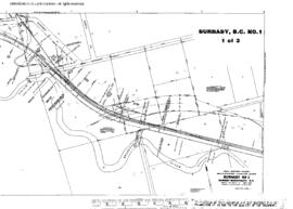
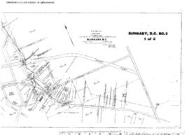
Plat Map of Great Northern facilities at Burnaby, British Columbia, October 22, 1958, Sheet Number 1, Line Segment 56, showing the Vancouver-White Rock line, industry spurs.
Plat Map of Great Northern facilities at Burnaby, British Columbia, October 22, 1958, Sheet Number 2, Line Segment 56, showing the Vancouver-White Rock line, industry spurs.
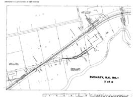
Plat Map of Great Northern facilities at Burnaby, British Columbia, October 22, 1958, Sheet Number 3, Line Segment 56, showing the Vancouver-White Rock line, industry spurs.
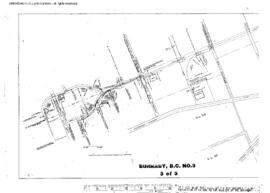
Plat Map of Great Northern facilities at Burnaby, British Columbia, September 1, 1965, Sheet Number 3, Line Segment 56, showing the Vancouver-White Rock line, industry spurs.
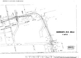
Plat Map of Great Northern facilities at Burnaby, British Columbia, September 1, 1965, Sheet Number 1, Line Segment 56, showing the Vancouver-White Rock line, industry spurs.
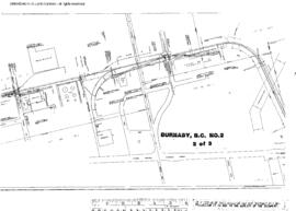
Plat Map of Great Northern facilities at Burnaby, British Columbia, September 1, 1965, Sheet Number 2, Line Segment 56, showing the Vancouver-White Rock line, industry spurs.
Plat Map of Great Northern facilities at Burnaby, British Columbia, August 1, 1984, Sheet Number 3, Line Segment 56, showing the Vancouver-White Rock line.
Plat Map of Great Northern facilities at Burnaby, British Columbia, August 1, 1984, Sheet Number 2, Line Segment 56, showing the Vancouver-White Rock line.
Plat Map of Great Northern facilities at Burnaby, British Columbia, August 1, 1984, Sheet Number 1, Line Segment 56, showing the Vancouver-White Rock line.
Plat Map of Great Northern facilities at Cawston, British Columbia, August 1, 1920, Sheet Number 2, Line Segment 390, showing the Chopaka-Oroville (Curlew-Keremeos) line.
Plat Map of Great Northern facilities at Cawston, British Columbia, August 1, 1920, Sheet Number 1, Line Segment 393, showing the Chopaka-Oroville (Curlew-Keremeos) line.
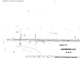
Plat Map of Great Northern facilities at Colebrook, British Columbia, July 1, 1945, Sheet Number 2, Line Segment 56, showing the Vancouver-White Rock line.