Plat Map of Burlington Northern facilities at Seattle, Washington, undated, Sheet Number 2, Line Segment 403, 619, showing the Waterfront, grain terminal.
Plat Map of Burlington Northern facilities at Seattle, Washington, undated, Sheet Number 4, Line Segment 403, 619, showing the Waterfront, Vine Street-Virginia Street, North Portal.
Plat Map of Burlington Northern facilities at Seattle, Washington, undated, Sheet Number 1, Line Segment 51, 410, showing the Seattle-Tacoma line, Allentown/South Seattle.
Plat Map of Burlington Northern facilities at Seattle, Washington, undated, Sheet Number 2, Line Segment 51, 410, showing the Seattle-Tacoma line, Allentown/Black River.
Plat Map of Burlington Northern facilities at Seattle, Washington, undated, Sheet Number 5, Line Segment 51, 410, showing the Seattle-Tacoma line, South Seattle Yard.
Plat Map of Burlington Northern facilities at Seattle, Washington, undated, Sheet Number 6, Line Segment 51, 410, showing the Seattle-Tacoma line, South Seattle Yard.
Plat Map of Canadian Pacific facilities at Agatha, Idaho, August 17, 1909, Sheet Number 1, Line Segment 462, showing the Arrow-Headquarters line.
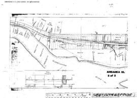
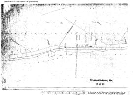
Plat Map of Canadian Pacific facilities at Ahsahka, Idaho, October 10, 1910, Sheet Number 2, Line Segment 462, showing the Arrow-Headquarters line.
Plat Map of Canadian Pacific facilities at Ahsahka, Idaho, October 10, 1910, Sheet Number 1, Line Segment 462, showing the Arrow-Headquarters line.
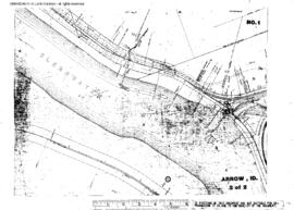
Plat Map of Canadian Pacific facilities at Arrow, Idaho, January 9, 1914, Sheet Number 2, Line Segment 459, 462, showing the Arrow-Lewiston line, Arrow-Headquarters line.
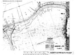
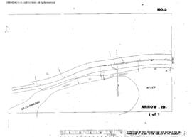
Plat Map of Canadian Pacific facilities at Arrow, Idaho, January 9, 1914, Sheet Number 1, Line Segment 459, 462, showing the Arrow-Lewiston line, Arrow-Headquarters line.
Plat Map of Canadian Pacific facilities at Arrow, Idaho, June 8, 1889, Sheet Number 2, Line Segment 459, 462, showing the Arrow-Lewiston line, Arrow-Headquarters line.
Plat Map of Canadian Pacific facilities at Arrow, Idaho, June 8, 1889, Sheet Number 1, Line Segment 459, 462, showing the Arrow-Lewiston line, Arrow-Headquarters line.
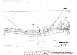
Plat Map of Canadian Pacific facilities at Arrow, Idaho, undated, Sheet Number 1, Line Segment 459, showing the Arrow-Lewiston line.
Plat Map of Canadian Pacific facilities at Cherrylane, Idaho, undated, Sheet Number 1, Line Segment 461, showing the Orofino-Stites line.
Plat Map of Canadian Pacific facilities at Cherrylane, Idaho, undated, Sheet Number 2, Line Segment 461, showing the Orofino-Stites line.
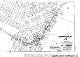
Plat Map of Canadian Pacific facilities at Cottonwood, Idaho, April 15, 1915, Sheet Number 1, Line Segment 460, showing the Spalding-Grangeville line.
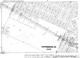
Plat Map of Canadian Pacific facilities at Cottonwood, Idaho, April 15, 1915, Sheet Number 2, Line Segment 460, showing the Spalding-Grangeville line.
Plat Map of Canadian Pacific facilities at Craigmont, Idaho, May 28, 1913, Sheet Number 1, Line Segment 460, showing the Spalding-Grangeville line.
Plat Map of Canadian Pacific facilities at Craigmont, Idaho, May 28, 1913, Sheet Number 2, Line Segment 460, showing the Spalding-Grangeville line.
Plat Map of Canadian Pacific facilities at Craigmont, Idaho, May 28, 1913, Sheet Number 3, Line Segment 460, showing the Spalding-Grangeville line.
Plat Map of Canadian Pacific facilities at Culdesac, Idaho, September 3, 1909, Sheet Number 1, Line Segment 460, showing the Spalding-Grangeville line.
Plat Map of Canadian Pacific facilities at Culdesac, Idaho, September 3, 1909, Sheet Number 2, Line Segment 460, showing the Spalding-Grangeville line.
Plat Map of Canadian Pacific facilities at Culdesac, Idaho, September 3, 1909, Sheet Number 3, Line Segment 460, showing the Spalding-Grangeville line.
Plat Map of Canadian Pacific facilities at Fenn, Idaho, November 26, 1912, Sheet Number 2, Line Segment 460, showing the Spalding-Grangeville line.
Plat Map of Canadian Pacific facilities at Fenn, Idaho, November 26, 1912, Sheet Number 1, Line Segment 460, showing the Spalding-Grangeville line.
Plat Map of Canadian Pacific facilities at Ferdinand, Idaho, December 23, 1912, Sheet Number 1, Line Segment 460, showing the Spalding-Grangeville line.
Plat Map of Canadian Pacific facilities at Ferdinand, Idaho, December 23, 1912, Sheet Number 2, Line Segment 460, showing the Spalding-Grangeville line.
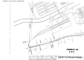
Plat Map of Canadian Pacific facilities at Forebay, Idaho, July 10, 1929, Sheet Number 4, Line Segment 459, showing the Arrow-Lewiston line.