US WaBuPNRA D0237A-003-012-002-GNRHSCD237
·
Item
·
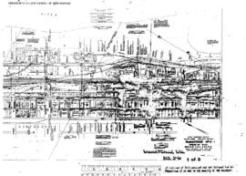
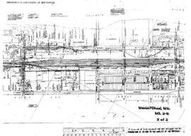
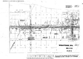
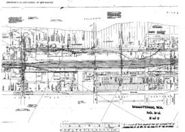
March 1928
Part of Great Northern Railway Historical Society Cascade Division Collection
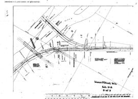
Sanborn Fire Map of Wenatchee, Washington in March, 1928, revised December, 1949, Sheet 2.