Sanborn Fire Map of Spokane, Washington in 1910, revised June, 1950, Volume 4, Sheet 434.
Elements area
Taxonomy
Code
Scope note(s)
Source note(s)
LC Name Authority: https://lccn.loc.gov/n88277532
Sanborn Fire Map of Spokane, Washington in 1910, revised June, 1950, Volume 4, Sheet 434.
Great Northern Blueprint Number 113-3, map of Pacific Extension Location Line "L" Station 1567 to 2915, 1892. Other subject categories: Filing Map
Great Northern Blueprint Number No.3, map of Pacific Extension Number3, 1892. Other subject categories: Filing Map
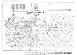
Great Northern Blueprint Number 113-2, map of Pacific Extension Location Line "L" Spokane West Station 239 to 1390, 1892. Other subject categories: Filing Map
Great Northern Blueprint Number 1352-9-1, map of Nine Mile Line - Car Barns to City Connection, undated. Other subject categories: Right of Way and Track Map
Great Northern Blueprint Number 1324-1-1 , map of Coeur D'Alene & Spokane Railway through Spokane to the Water Works, 1906. Other subject categories: Right of Way and Track Map
The Reginald Miles Collection is a digital copy of a motion picture taken at the Northern Pacific roundhouse in Spokane, Washington in 1940.
Miles, Reginald A.A photograph of a model of the Great Northern Railway Depot in Spokane, Washington. Other categories: Trains Freight
Downing, Robert W.A railroad map of the east side of Spokane, Washington, circa 1957, prepared by Bob Downing and distributed at Great Northern Railway Historical Society Spokane convention.
A railroad map of the west side of Spokane, Washington, circa 1957, prepared by Bob Downing and distributed at Great Northern Railway Historical Society Spokane convention.
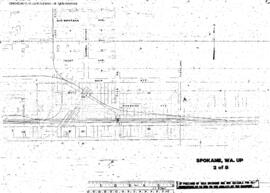
Plat Map of Union Pacific facilities at Spokane, Washington, undated, Sheet Number 2, showing the East Spokane, industry spurs.
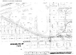
Plat Map of Union Pacific facilities at Spokane, Washington, undated, Sheet Number 7, showing the Fairgrounds, industry spurs.
Plat Map of Union Pacific facilities at Spokane, Washington, undated, Sheet Number 8, showing the Fairgrounds, industry spurs, Great Northern interchange.
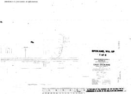
Plat Map of Union Pacific facilities at Spokane, Washington, undated, Sheet Number 1, showing the East Spokane.
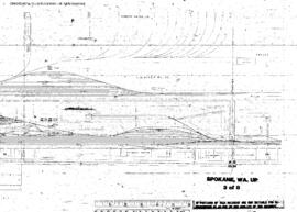
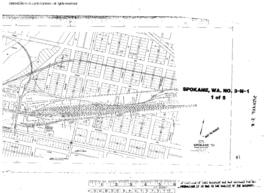
Plat Map of Union Pacific facilities at Spokane, Washington, undated, Sheet Number 3, showing the East Spokane yard, Milwaukee Road yard, industry spurs.
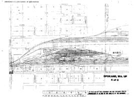
Plat Map of Union Pacific facilities at Spokane, Washington, undated, Sheet Number 4, showing the East Spokane yard, engine house, Milwaukee Road yard, industry spurs.
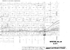
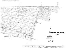
Plat Map of Union Pacific facilities at Spokane, Washington, undated, Sheet Number 5, showing the East Spokane yard, Milwaukee Road interchange, industry spurs.
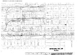
Plat Map of Union Pacific facilities at Spokane, Washington, undated, Sheet Number 6, showing the East Spokane, industry spurs.
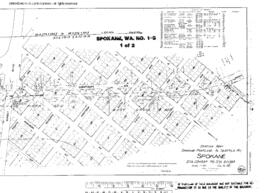
Plat Map of Spokane, Portland, and Seattle Railway facilities at Spokane, Washington, June 3, 1916, Sheet Number 2, Line Segment 46, showing the Spokane-Pasco-Spokane, Portland, and Seattle Railway Junction line.
Plat Map of Spokane, Portland, and Seattle Railway facilities at Spokane, Washington, June 3, 1916, Sheet Number 1, Line Segment 46, showing the Spokane-Pasco-Spokane, Portland, and Seattle Railway Junction line.
Plat Map of Northern Pacific facilities at Spokane, Washington, undated, Sheet Number 1, Line Segment 652, showing the Yardley, industry spurs, interchanges.
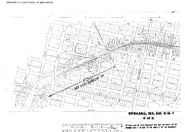
Plat Map of Northern Pacific facilities at Spokane, Washington, undated, Sheet Number 5, Line Segment 46, 652, showing the Spokane-Pasco-Spokane, Portland, and Seattle Railway Junction line, Spokane west end.
Plat Map of Northern Pacific facilities at Spokane, Washington, undated, Sheet Number 2, Line Segment 46, showing the Spokane-Pasco-Spokane, Portland, and Seattle Railway Junction line, Latah Creek.
Plat Map of Northern Pacific facilities at Spokane, Washington, undated, Sheet Number 3, Line Segment 46, showing the Spokane-Pasco-Spokane, Portland, and Seattle Railway Junction line, Latah Creek.
Plat Map of Northern Pacific facilities at Spokane, Washington, undated, Sheet Number 1, Line Segment 45, 651, showing the Kootenai-Spokane line, Havana Street spur, industry spurs.
Plat Map of Northern Pacific facilities at Spokane, Washington, undated, Sheet Number 3, Line Segment 652, showing the Depot.
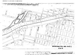
Plat Map of Northern Pacific facilities at Spokane, Washington, undated, Sheet Number 4, Line Segment 46, showing the Spokane-Pasco-Spokane, Portland, and Seattle Railway Junction line, Latah Creek.
Plat Map of Northern Pacific facilities at Spokane, Washington, undated, Sheet Number 2, Line Segment 45, 651, showing the Kootenai-Spokane line, Alki Avenue line, industry spurs.
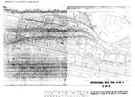
Plat Map of Northern Pacific facilities at Spokane, Washington, undated, Sheet Number 2, Line Segment 652, showing the Northern Pacific,ÿGreat Northern, Milwaukee Road depots and interchanges.
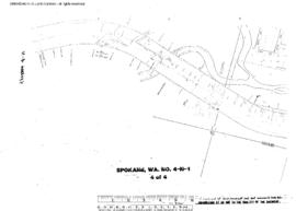
Plat Map of Northern Pacific facilities at Spokane, Washington, undated, Sheet Number 4, Line Segment 46, 652, showing the Spokane-Pasco-Spokane, Portland, and Seattle Railway Junction line, downtown.