US MnSpGNR E0477-003-009-008-001-EBP3452
·
Item
·
1902
Part of BNSF Maps, Drawings and Records Collection
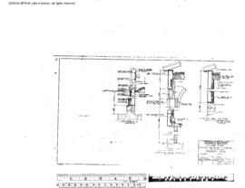
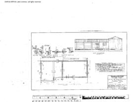
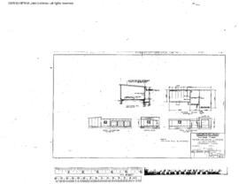
Great Northern Blueprint Number 1240-7, map of Proposed Flume Under Bridge Number 231 6.3 Miles West of Sandpoint (10 copies), 1902. Other subject categories: Drawing and Map