US MnSpGNR E0477-003-012-001-EBP2963
·
Item
·
1907
Part of BNSF Maps, Drawings and Records Collection
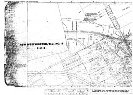
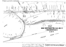
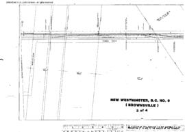
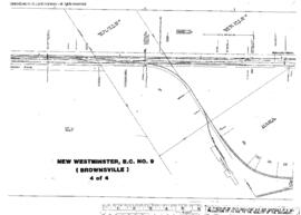
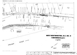
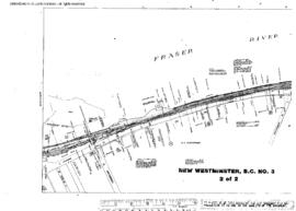
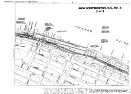
Great Northern Blueprint Number 1129-14, map of Crossing of Old Yale Road, 1907. Other subject categories: Right of Way and Track Map