US WaBuPNRA E0482-003-012
·
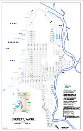
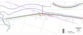
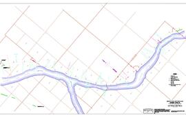
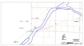
Subseries Level 1
·
1928-1937
Part of Great Northern Railway-Northern Pacific Railroad Enhanced Drawing Collection
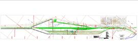
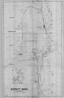
Geographic drawings including maps, plats (cadastral maps) and track elevation (grade) profiles.