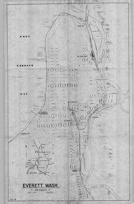
US WaBuPNRA E0482-003-001
·
Subseries Level 2
·
1928-1937
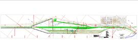
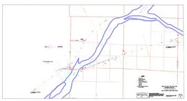
Part of Great Northern Railway-Northern Pacific Railroad Enhanced Drawing Collection
Symbolic depictions of railroad routes through a geographic territory.