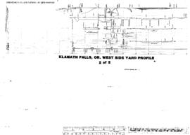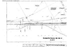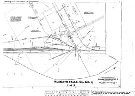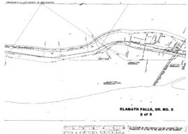
US WaBuPNRA D0027-003-012-002-Plat011398
·
Item
·
undated
Part of Timothy Miller Collection
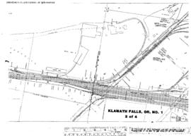
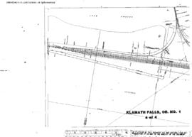
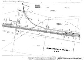
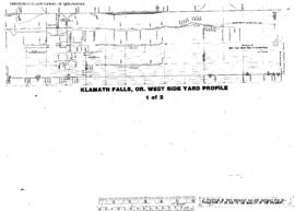
Plat Map of Great Northern facilities at Klamath Falls, Oregon, undated, Sheet Number 1, Line Segment 55, showing the West Side Yard profile.