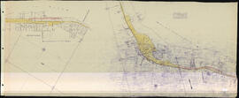
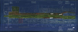
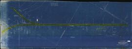
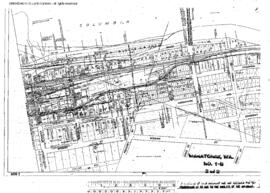
Great Northern Blueprint Number 1004-44-1, map of Constructed Line, from Wenatchee through the Colville Indian Reservation, 1918. Other subject categories: Filing Map
Great Northern Plat Map, Wenatchee, Washington. Milepost 1647-1650, Great Northern Washington Volume 3 Map 19, undated.
Great Northern Plat Map, Wenatchee, Washington. Milepost 1650, Great Northern Washington Volume 3 Map 19e, undated.
Great Northern Plat Map, Wenatchee, Washington. Milepost 1651, Great Northern Washington Volume 3 Map 19f, undated.
Great Northern Plat Map, Wenatchee, Washington. Milepost 1651-1652, Great Northern Washington Volume 3 Map 20a, undated.
Great Northern Plat Map, Wenatchee, Washington. Milepost 1651-1654, Great Northern Washington Volume 3 Map 20, undated.
Great Northern Plat Map, Wenatchee, Washington. Milepost 1652-1653, Great Northern Washington Volume 3 Map 20b, undated.
Plat Map of Great Northern facilities at Wenatchee, Washington, December 1, 1937, Sheet Number 1, Line Segment 656, showing the Downtown, industry spurs.
Plat Map of Great Northern facilities at Wenatchee, Washington, December 1, 1937, Sheet Number 2, Line Segment 656, showing the Downtown, industry spurs.
Plat Map of Great Northern facilities at Wenatchee, Washington, May 1, 1946, Drawing Number 8135-1, Sheet Number 2, Line Segment 656, showing the Appleyard, roundhouse.