US WaBuPNRA D0027-004-012-002-Plat010757
·
Item
·
undated
Part of Timothy Miller Collection
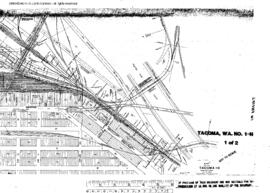
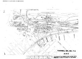
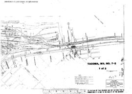
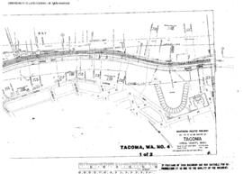
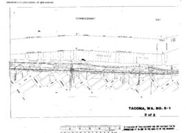
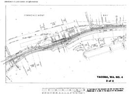
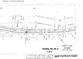
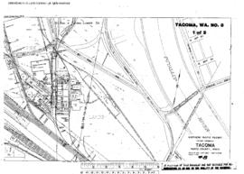
Plat Map of Northern Pacific facilities at Tacoma, Washington, undated, Sheet Number 1, Line Segment 608, showing the Tideflats Yard, industry spurs.