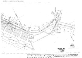
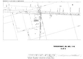
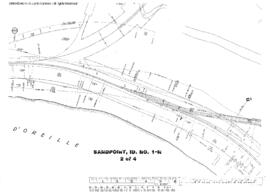
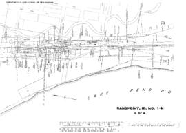
Great Northern Blueprint Number 1069-17-55, map of Sand Point, 1892. Other subject categories: Filing Map
Great Northern Blueprint Number 1069-17-57, map of Valencia Now Priest River, 1892. Other subject categories: Filing Map
Great Northern Blueprint Number 1069-17-25, map of Naples, 1892. Other subject categories: Filing Map
Great Northern Blueprint Number 1069-17-56, map of Laclede, 1892. Other subject categories: Filing Map
Great Northern Blueprint Number 1069-17-53, map of Elmira, 1892. Other subject categories: Filing Map
Plat Map of Northern Pacific facilities at Troy, Idaho, February 13, 1941, Sheet Number 1, Line Segment 384, showing the Marshall-Arrow line.
Plat Map of Northern Pacific facilities at Troy, Idaho, February 13, 1941, Sheet Number 2, Line Segment 384, showing the Marshall-Arrow line.
Plat Map of Northern Pacific facilities at Sandpoint, Idaho, November 1, 1963, Sheet Number 4, Line Segment 36, showing the Pacific Junction-Sandpoint Junction line.
Plat Map of Northern Pacific facilities at Sandpoint, Idaho, February 9, 1955, Sheet Number 2, Line Segment 45, showing the Kootenai-Spokane line.
Plat Map of Northern Pacific facilities at Sandpoint, Idaho, February 9, 1955, Sheet Number 3, Line Segment 45, showing the Kootenai-Spokane line.