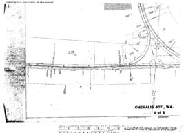
Plat Map of Northern Pacific facilities at Chehalis Junction, Washington, June 19, 1915, Sheet Number 2, Line Segment 52, 420, showing the Tacoma-Vancouver line, junction with Chehalis-South Bend line.
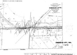
Plat Map of Northern Pacific facilities at Chehalis Junction, Washington, June 19, 1915, Sheet Number 1, Line Segment 52, showing the Tacoma-Vancouver line, Milwaukee Road interchange.
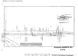
Plat Map of Northern Pacific facilities at Charlos Heights, Montana, September 19, 1908, Sheet Number 2, Line Segment 333, showing the Missoula-Darby line.
Plat Map of Northern Pacific facilities at Charlos Heights, Montana, September 19, 1908, Sheet Number 1, Line Segment 333, showing the Missoula-Darby line.
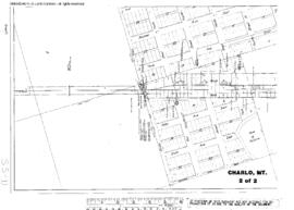
Plat Map of Northern Pacific facilities at Charlo, Montana, August 4, 1924, Sheet Number 2, Line Segment 334, showing the Dixon-Polson line.
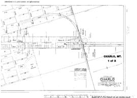
Plat Map of Northern Pacific facilities at Charlo, Montana, August 4, 1924, Sheet Number 1, Line Segment 334, showing the Dixon-Polson line.
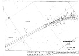
Plat Map of Northern Pacific facilities at Chambers, Washington, December 19, 1914, Sheet Number 2, Line Segment 385, showing the Pullman Junction-Genesee line.
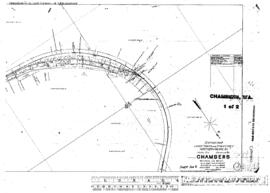
Plat Map of Northern Pacific facilities at Chambers, Washington, December 19, 1914, Sheet Number 1, Line Segment 385, showing the Pullman Junction-Genesee line.
Plat Map of Northern Pacific facilities at Chadborn, Montana, August 27, 1909, Sheet Number 1, Line Segment 331, showing the Mission-Wilsall line.
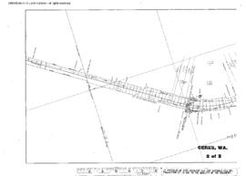
Plat Map of Northern Pacific facilities at Ceres, Washington, November 5, 1915, Sheet Number 2, Line Segment 420, showing the Chehalis-South Bend line.
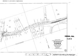
Plat Map of Northern Pacific facilities at Ceres, Washington, November 5, 1915, Sheet Number 1, Line Segment 420, showing the Chehalis-South Bend line.
Plat Map of Northern Pacific facilities at Centralia, Washington, undated, Sheet Number 1, Line Segment 611, showing the Centralia yard.
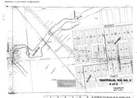
Plat Map of Northern Pacific facilities at Centralia, Washington, undated, Sheet Number 3, Line Segment 611, 421, showing the Centralia yard, Centralia-Gate line.
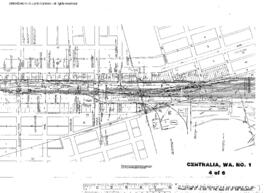
Plat Map of Northern Pacific facilities at Centralia, Washington, undated, Sheet Number 6, Line Segment 611, showing the Centralia yard, south end.
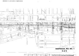
Plat Map of Northern Pacific facilities at Centralia, Washington, undated, Sheet Number 5, Line Segment 611, showing the Centralia yard.
Plat Map of Northern Pacific facilities at Centralia, Washington, undated, Sheet Number 2, Line Segment 611, showing the Centralia yard, turntable.
Plat Map of Northern Pacific facilities at Centralia, Washington, undated, Sheet Number 4, Line Segment 611, showing the Centralia yard, depot.
Plat Map of Northern Pacific facilities at Centralia, Washington, March 5, 1920, Sheet Number 1, Line Segment 611, showing the Centralia yard, Grays Harbor line.
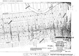
Plat Map of Northern Pacific facilities at Centralia, Washington, March 5, 1920, Sheet Number 2, Line Segment 611, showing the Centralia yard, Northern Pacific, Milwaukee Road Grays Harbor lines.
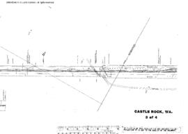
Plat Map of Northern Pacific facilities at Castle Rock, Washington, September 14, 1944, Sheet Number 3, Line Segment 52, showing the Tacoma-Vancouver line.
Plat Map of Northern Pacific facilities at Castle Rock, Washington, September 14, 1944, Sheet Number 2, Line Segment 52, showing the Tacoma-Vancouver line.
Plat Map of Northern Pacific facilities at Castle Rock, Washington, September 14, 1944, Sheet Number 4, Line Segment 52, showing the Tacoma-Vancouver line.
Plat Map of Northern Pacific facilities at Castle Rock, Washington, September 14, 1944, Sheet Number 1, Line Segment 52, showing the Tacoma-Vancouver line.
Plat Map of Northern Pacific facilities at Cascade Junction, Washington, undated, Sheet Number 1, Line Segment 411, showing the Palmer Junction-Meeker line.
Plat Map of Northern Pacific facilities at Cascade Junction, Washington, undated, Sheet Number 2, Line Segment 411, showing the Palmer Junction-Meeker line.
Plat Map of Northern Pacific facilities at Carney, Montana, December 13, 1919, Sheet Number 2, Line Segment 41, showing the Billings-Helena line.
Plat Map of Northern Pacific facilities at Carney, Montana, December 13, 1919, Sheet Number 1, Line Segment 41, showing the Billings-Helena line.
Plat Map of Northern Pacific facilities at Carlisle, Washington, undated, Sheet Number 5, Line Segment 402, showing the Saint Clair-Moclips line.
Plat Map of Northern Pacific facilities at Carlisle, Washington, undated, Sheet Number 4, Line Segment 402, showing the Saint Clair-Moclips line.
Plat Map of Northern Pacific facilities at Carlisle, Washington, undated, Sheet Number 6, Line Segment 402, showing the Saint Clair-Moclips line.