Plat Map of Northern Pacific facilities at Gibbon, Washington, December 18, 1945, Sheet Number 4, Line Segment 448, showing the Gibbon-Parker line.
Plat Map of Northern Pacific facilities at Gibbon, Washington, December 18, 1945, Sheet Number 3, Line Segment 448, showing the Gibbon-Parker line.
Plat Map of Northern Pacific facilities at Gate, Washington, March 14, 1912, Sheet Number 2, Line Segment 402, showing the Saint Clair-Moclips line.
Plat Map of Northern Pacific facilities at Gate, Washington, March 14, 1912, Sheet Number 1, Line Segment 402, showing the Saint Clair-Moclips line.
Plat Map of Northern Pacific facilities at Gate, Washington, March 14, 1912, Sheet Number 3, Line Segment 402, showing the Saint Clair-Moclips line.
Plat Map of Northern Pacific facilities at Garrison, Montana, January 7, 1949, Sheet Number 2, Line Segment 42, showing the Helena-Paradise line.
Plat Map of Northern Pacific facilities at Garrison, Montana, January 7, 1949, Sheet Number 3, Line Segment 42, showing the Helena-Paradise line.
Plat Map of Northern Pacific facilities at Garrison, Montana, January 7, 1949, Sheet Number 1, Line Segment 42, showing the Helena-Paradise line.
Plat Map of Northern Pacific facilities at Galen, Montana, December 22, 1936, Sheet Number 1, Line Segment 327, showing the Butte-Garrison line.
Plat Map of Northern Pacific facilities at Galen, Montana, December 22, 1936, Sheet Number 2, Line Segment 327, showing the Butte-Garrison line.
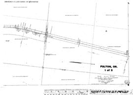
Plat Map of Northern Pacific facilities at Fulton, Oregon, February 26, 1913, Sheet Number 1, Line Segment 451, showing the Attalia-Union Pacific Connection (Pendleton) line.
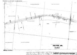
Plat Map of Northern Pacific facilities at Fulton, Oregon, February 26, 1913, Sheet Number 2, Line Segment 451, showing the Attalia-Union Pacific Connection (Pendleton) line.
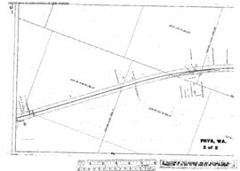
Plat Map of Northern Pacific facilities at Frys, Washington, May 16, 1917, Sheet Number 2, Line Segment 378, showing the Cheney-Coulee Cityÿline.
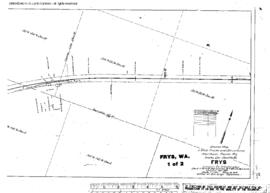
Plat Map of Northern Pacific facilities at Frys, Washington, May 16, 1917, Sheet Number 1, Line Segment 378, showing the Cheney-Coulee City line.
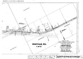
Plat Map of Northern Pacific facilities at Fruitvale, Washington, March 14, 1977, Sheet Number 1, Line Segment 444, showing the Yakima-Naches line.
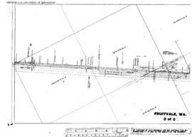
Plat Map of Northern Pacific facilities at Fruitvale, Washington, March 14, 1917, Sheet Number 2, Line Segment 444, showing the Yakima-Naches line.
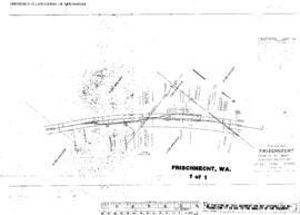
Plat Map of Northern Pacific facilities at Frischnecht, Washington, undated, Sheet Number 1, Line Segment 378, showing the Cheney-Coulee City line.
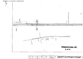
Plat Map of Northern Pacific facilities at Frenchtown, Montana, April 3, 1933, Sheet Number 3, Line Segment 43, showing the De Smet-Paradise line.
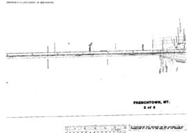
Plat Map of Northern Pacific facilities at Frenchtown, Montana, April 3, 1933, Sheet Number 2, Line Segment 43, showing the De Smet-Paradise line.
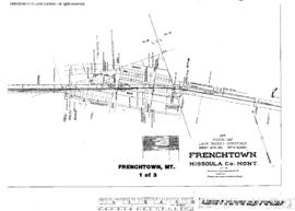
Plat Map of Northern Pacific facilities at Frenchtown, Montana, April 3, 1933, Sheet Number 1, Line Segment 43, showing the De Smet-Paradise line.
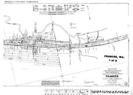
Plat Map of Northern Pacific facilities at Frances, Washington, August 29, 1916, Sheet Number 1, Line Segment 420, showing the Chehalis-South Bend line.
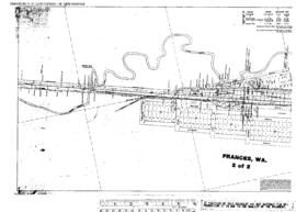
Plat Map of Northern Pacific facilities at Frances, Washington, August 29, 1916, Sheet Number 2, Line Segment 420, showing the Chehalis-South Bend line.
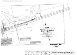
Plat Map of Northern Pacific facilities at Fortson, Washington, December 11, 1912, Sheet Number 1, Line Segment 406, showing the Darrington-Kruse Junction line.
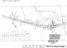
Plat Map of Northern Pacific facilities at Fortson, Washington, December 11, 1912, Sheet Number 2, Line Segment 406, showing the Darrington-Kruse Junction line.
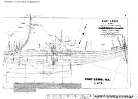
Plat Map of Northern Pacific facilities at Fort Lewis, Washington, February 17, 1909, Sheet Number 1, Line Segment 401, showing the Lakeview-Nisqually line.
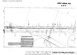
Plat Map of Northern Pacific facilities at Fort Lewis, Washington, February 17, 1909, Sheet Number 2, Line Segment 401, showing the Lakeview-Nisqually line.
Plat Map of Northern Pacific facilities at Fort Lewis, Washington, February 18, 1908, Sheet Number 1, Line Segment 401, showing the Lakeview-Nisqually line, du Pont Powder Company trackage.
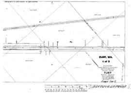
Plat Map of Northern Pacific facilities at Flint, Washington, August 20, 1917, Sheet Number 1, Line Segment 448, showing the Gibbon-Parker line.
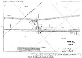
Plat Map of Northern Pacific facilities at Flint, Washington, August 20, 1917, Sheet Number 2, Line Segment 448, showing the Gibbon-Parker line.