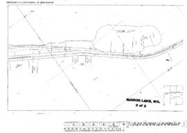
Plat Map of Northern Pacific facilities at Mirror Lake, Washington, January 8, 1914, Sheet Number 2, Line Segment 428, showing the Wickersham-Bellingham line.
Plat Map of Northern Pacific facilities at Mirror Lake, Washington, January 8, 1914, Sheet Number 1, Line Segment 428, showing the Wickersham-Bellingham line.
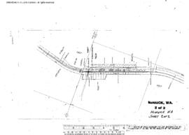
Plat Map of Northern Pacific facilities at Minnick, Washington, October 31, 1913, Sheet Number 2, Line Segment 450, showing the Ainsworth Junction-Dayton line.
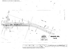
Plat Map of Northern Pacific facilities at Minnick, Washington, October 31, 1913, Sheet Number 1, Line Segment 450, showing the Ainsworth Junction-Dayton line.
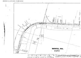
Plat Map of Northern Pacific facilities at Meskill, Washington, April 20, 1916, Sheet Number 2, Line Segment 420, showing the Chehalis-South Bend line.
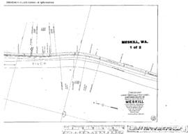
Plat Map of Northern Pacific facilities at Meskill, Washington, April 20, 1916, Sheet Number 1, Line Segment 420, showing the Chehalis-South Bend line.
Plat Map of Northern Pacific facilities at Mesa, Washington, October 1, 1949, Sheet Number 1, Line Segment 46, showing the Spokane-Pasco-Spokane, Portland, and Seattle Railway Junction line.
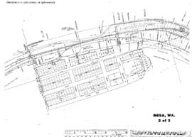
Plat Map of Northern Pacific facilities at Mesa, Washington, October 1, 1949, Sheet Number 2, Line Segment 46, showing the Spokane-Pasco-Spokane, Portland, and Seattle Railway Junction line.
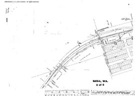
Plat Map of Northern Pacific facilities at Mesa, Washington, October 1, 1949, Sheet Number 3, Line Segment 46, showing the Spokane-Pasco-Spokane, Portland, and Seattle Railway Junction line.
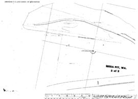
Plat Map of Northern Pacific facilities at Mesa Pit, Washington, August 23, 1921, Sheet Number 2, Line Segment 46, showing the Spokane-Pasco-Spokane, Portland, and Seattle Railway Junction line.
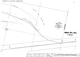
Plat Map of Northern Pacific facilities at Mesa Pit, Washington, August 23, 1921, Sheet Number 1, Line Segment 46, showing the Spokane-Pasco-Spokane, Portland, and Seattle Railway Junction line.
Plat Map of Northern Pacific facilities at Menlo, Washington, November 10, 1916, Sheet Number 1, Line Segment 420, showing the Chehalis-South Bend line.
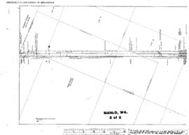
Plat Map of Northern Pacific facilities at Menlo, Washington, November 10, 1916, Sheet Number 2, Line Segment 420, showing the Chehalis-South Bend line.
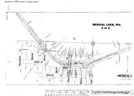
Plat Map of Northern Pacific facilities at Medical Lake, Washington, November 1, 1955, Sheet Number 2, Line Segment 378, showing the Cheney-Coulee City line.
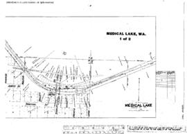
Plat Map of Northern Pacific facilities at Medical Lake, Washington, November 1, 1955, Sheet Number 1, Line Segment 378, showing the Cheney-Coulee City line.
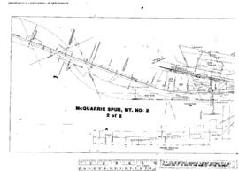
Plat Map of Northern Pacific facilities at Mc Quarrie Spur, Montana, January 19, 1944, Sheet Number 2, Line Segment 42, showing the Helena-Paradise line.
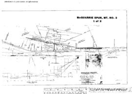
Plat Map of Northern Pacific facilities at Mc Quarrie Spur, Montana, January 19, 1944, Sheet Number 1, Line Segment 42, showing the Helena-Paradise line.
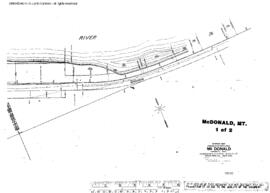
Plat Map of Northern Pacific facilities at Mc Donald, Montana, undated, Drawing Number 31250, Sheet Number 1, Line Segment 43, showing the De Smet-Paradise line.
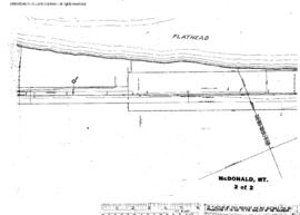
Plat Map of Northern Pacific facilities at Mc Donald, Montana, undated, Drawing Number 31250, Sheet Number 2, Line Segment 43, showing the De Smet-Paradise line.
Plat Map of Northern Pacific facilities at Mc Coy, Washington, January 30, 1942, Sheet Number 1, Line Segment 384, showing the Marshall-Arrow line.
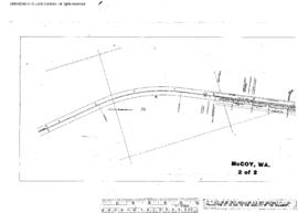
Plat Map of Northern Pacific facilities at Mc Coy, Washington, January 30, 1942, Sheet Number 2, Line Segment 384, showing the Marshall-Arrow line.
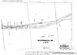
Plat Map of Northern Pacific facilities at Mc Cormmach, Oregon, February 1, 1913, Sheet Number 1, Line Segment 451, showing the Attalia-Union Pacific Connection (Pendleton) line.
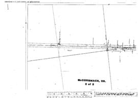
Plat Map of Northern Pacific facilities at Mc Cormmach, Oregon, February 1, 1913, Sheet Number 2, Line Segment 451, showing the Attalia-Union Pacific Connection (Pendleton) line.
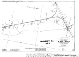
Plat Map of Northern Pacific facilities at Mc Cleary, Washington, April 13, 1917, Sheet Number 2, Line Segment 425, showing the Shelton-Elma line.
Plat Map of Northern Pacific facilities at Mc Cleary, Washington, April 13, 1917, Sheet Number 1, Line Segment 425, showing the Shelton-Elma line.
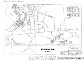
Plat Map of Northern Pacific facilities at Mc Chord, Washington, July 6, 1945, Sheet Number 1, Line Segment 400, showing the 11th Street (Tacoma/Union Pacific Junction)-Tenino Junction line.
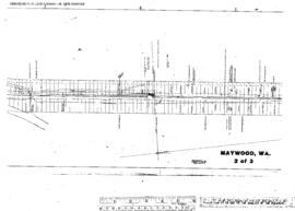
Plat Map of Northern Pacific facilities at Maywood, Washington, June 27, 1904, Sheet Number 2, Line Segment 49, showing the Ellensburg-Rainier (Auburn) line.
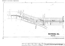
Plat Map of Northern Pacific facilities at Maywood, Washington, June 27, 1904, Sheet Number 3, Line Segment 49, showing the Ellensburg-Rainier (Auburn) line.
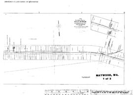
Plat Map of Northern Pacific facilities at Maywood, Washington, June 27, 1904, Sheet Number 1, Line Segment 49, showing the Ellensburg-Rainier (Auburn)ÿline.