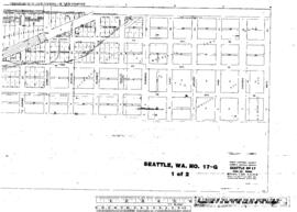
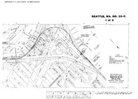
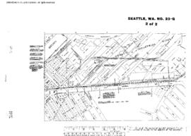
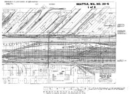
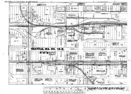
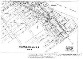
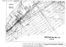
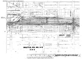
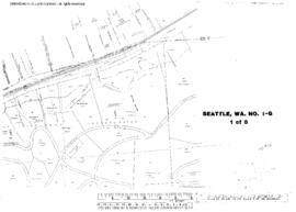
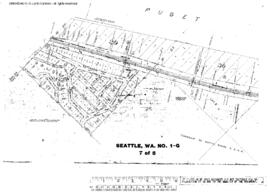
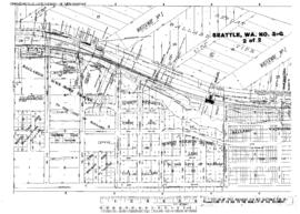
Plat Map of Great Northern facilities at Seattle, Washington, September 1, 1938, Sheet Number 1, Line Segment 619, showing the Lake Union line, Fremont Avenue-West Bertona Street.
Plat Map of Great Northern facilities at Seattle, Washington, September 1, 1938, Sheet Number 2, Line Segment 619, showing the Lake Union line, West Cremona Street-9th Avenue West, industry spurs.
Plat Map of Great Northern facilities at Seattle, Washington, September 1, 1938, Sheet Number 2, Line Segment 619, showing the Lake Union line, Westlake Avenue.
Plat Map of Great Northern facilities at Seattle, Washington, September 1, 1938, Sheet Number 3, Line Segment 619, showing the Lake Union line, Westlake Avenue-Fremont Bridge.
Plat Map of Great Northern facilities at Seattle, Washington, May 1, 1941, Sheet Number 1, Line Segment 619, showing the Argo Yard, north end, wye.
Plat Map of Great Northern facilities at Seattle, Washington, May 1, 1941, Sheet Number 2, Line Segment 619, showing the Argo Yard, industry spurs.
Plat Map of Great Northern facilities at Seattle, Washington, June 1, 1959, Sheet Number 2, Line Segment 622, showing the King Street, coach yard, car shop, team tracks, Union Pacific/Milwaukee Road trackage.
Plat Map of Great Northern facilities at Seattle, Washington, June 1, 1959, Sheet Number 1, Line Segment 622, showing the King Street Station, Union Station, team tracks.
Plat Map of Great Northern facilities at Seattle, Washington, September 1, 1963, Sheet Number 1, Line Segment 619, showing the Great Northern/Milwaukee Road industry spurs, South Main Street-South Judkins Street, Northern Pacific Shore line, north end.
Plat Map of Great Northern facilities at Seattle, Washington, September 1, 1963, Sheet Number 2, Line Segment 619, showing the Great Northern/Milwaukee Road industry spurs, South Norman Street-South Plum Street, Northern Pacific Shore line, north end.
Plat Map of Great Northern facilities at Seattle, Washington, December 1, 1964, Sheet Number 1, Line Segment 619, showing the East Waterway, 1st Avenue South-5th Avenue South, industry spurs.
Plat Map of Great Northern facilities at Seattle, Washington, December 1, 1964, Sheet Number 2, Line Segment 619, showing the East Marginal Way, King Company industrial park.
Plat Map of Great Northern facilities at Seattle, Washington, November 1, 1964, Sheet Number 1, Line Segment 623, showing the Stacy Street Yard, Milwaukee Road roundhouse, industry and dock spurs.
Plat Map of Great Northern facilities at Seattle, Washington, April 1, 1964, Sheet Number 1, Line Segment 619, showing the Argo Yard, west end, industry spurs.
Plat Map of Great Northern facilities at Seattle, Washington, April 1, 1964, Sheet Number 2, Line Segment 619, showing the East Marginal Way, government warehouses, industry spurs.
Plat Map of Great Northern facilities at Seattle, Washington, November 1, 1964, Sheet Number 2, Line Segment 623, showing the Stacy Street Yard, Spokane Street line, industry and dock spurs.
Plat Map of Great Northern facilities at Seattle, Washington, June 1, 1965, Sheet Number 1, Line Segment 619, showing the East Marginal Way, south end, steel spurs.
Plat Map of Great Northern facilities at Seattle, Washington, June 1, 1965, Sheet Number 2, Line Segment 619, showing the East Marginal Way, south end.
Plat Map of Great Northern facilities at Seattle, Washington, May 1, 1965, Sheet Number 1, Line Segment 619, showing the Ballard line.
Plat Map of Great Northern facilities at Seattle, Washington, May 1, 1965, Sheet Number 2, Line Segment 619, showing the Ballard line.
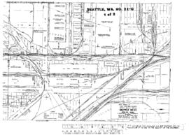
Plat Map of Great Northern facilities at Seattle, Washington, January 1, 1965, Sheet Number 1, Line Segment 619, showing the Mainlines, South Holgate Street-South Forest Street, industry spurs.
Plat Map of Great Northern facilities at Seattle, Washington, January 1, 1965, Sheet Number 2, Line Segment 619, showing the Mainlines, South Lander Street-South Spokane Street, industry spurs.
Plat Map of Great Northern facilities at Seattle, Washington, March 1, 1965, Sheet Number 1, Line Segment 619, showing the Mainline, Salmon Bay.
Plat Map of Great Northern facilities at Seattle, Washington, March 1, 1965, Sheet Number 2, Line Segment 619, showing the Mainline, Salmon Bay.
Plat Map of Great Northern facilities at Seattle, Washington, undated, Sheet Number 2, Line Segment 619, showing the 7th-8th Avenue lines, Northern Pacific Shore line, South McClellan Street-South Court Street.
Plat Map of Great Northern facilities at Seattle, Washington, undated, Sheet Number 2, Line Segment 470, 620, showing the Balmer Yard.
Plat Map of Great Northern facilities at Seattle, Washington, undated, Sheet Number 1, Line Segment 619, showing the Mainline, Richmond Highlands.
Plat Map of Great Northern facilities at Seattle, Washington, undated, Sheet Number 3, Line Segment 619, showing the Mainline, Richmond Highlands.
Plat Map of Great Northern facilities at Seattle, Washington, undated, Sheet Number 7, Line Segment 619, showing the Mainline, Blue Ridge.
Plat Map of Great Northern facilities at Seattle, Washington, undated, Sheet Number 2, Line Segment 619, showing the Mainline, Golden Gardens.