Plat Map of Northern Pacific facilities at Orillia, Washington, undated, Sheet Number 3, Line Segment 51, showing the Seattle-Tacoma line.
Plat Map of Northern Pacific facilities at Orillia, Washington, undated, Sheet Number 6, Line Segment 51, showing the Seattle-Tacoma line.
Plat Map of Northern Pacific facilities at Orillia, Washington, undated, Sheet Number 8, Line Segment 51, showing the Seattle-Tacoma line.
Plat Map of Northern Pacific facilities at Orillia, Washington, undated, Sheet Number 2, Line Segment 51, showing the Seattle-Tacoma line.
Plat Map of Northern Pacific facilities at Orillia, Washington, undated, Sheet Number 7, Line Segment 51, showing the Seattle-Tacoma line.
Plat Map of Northern Pacific facilities at Orillia, Washington, March 1, 1967, Sheet Number 4, Line Segment 51, showing the Seattle-Tacoma line, Glacier Park Company.
Plat Map of Northern Pacific facilities at Orillia, Washington, March 1, 1967, Sheet Number 1, Line Segment 51, showing the Seattle-Tacoma line, Glacier Park Company.
Plat Map of Northern Pacific facilities at Orillia, Washington, March 1, 1967, Sheet Number 2, Line Segment 51, showing the Seattle-Tacoma line, Glacier Park Company.
Plat Map of Northern Pacific facilities at Orillia, Washington, March 1, 1967, Sheet Number 4, Line Segment 51, showing the Seattle-Tacoma line, Glacier Park Company.
Plat Map of Northern Pacific facilities at Orillia, Washington, November 1, 1967, Sheet Number 1, Line Segment 51, showing the Seattle-Tacoma line, Black River, Glacier Park Company.
Plat Map of Northern Pacific facilities at Orillia, Washington, March 1, 1967, Sheet Number 3, Line Segment 51, showing the Seattle-Tacoma line, Glacier Park Company.
Plat Map of Northern Pacific facilities at Orillia, Washington, January 17, 1908, Sheet Number 1, Line Segment 51, showing the Seattle-Tacoma line.
Plat Map of Northern Pacific facilities at Orillia, Washington, January 17, 1908, Sheet Number 2, Line Segment 51, showing the Seattle-Tacoma line.
Plat Map of Northern Pacific facilities at Onslow, Washington, October 10, 1923, Sheet Number 1, Line Segment 402, showing the Saint Clair-Moclips line.
Plat Map of Northern Pacific facilities at Onslow, Washington, October 10, 1923, Sheet Number 2, Line Segment 402, showing the Saint Clair-Moclips line.
Plat Map of Northern Pacific facilities at Omans, Washington, May 15, 1917, Sheet Number 1, Line Segment 380, showing the Davenport-Eleanor line.
Plat Map of Northern Pacific facilities at Omans, Washington, May 15, 1917, Sheet Number 2, Line Segment 380, showing the Davenport-Eleanor line.
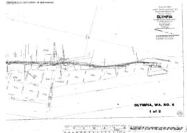
Plat Map of Northern Pacific facilities at Olympia, Washington, December 20, 1899, Sheet Number 1, Line Segment 402, 609, showing the Saint Clair-Moclips line.
Plat Map of Northern Pacific facilities at Olympia, Washington, December 20, 1899, Sheet Number 2, Line Segment 402, 609, showing the Saint Clair-Moclips line, Union Pacific yard.
Plat Map of Northern Pacific facilities at Olympia, Washington, January 1, 1954, Sheet Number 1, Line Segment 402, 609, showing the Saint Clair-Moclips line, Des Shutes Basin yard.
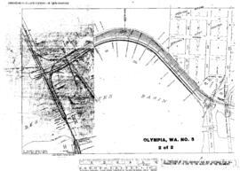
Plat Map of Northern Pacific facilities at Olympia, Washington, January 1, 1954, Sheet Number 2, Line Segment 402, 609, showing the Saint Clair-Moclips line, Des Shutes Basin yard.
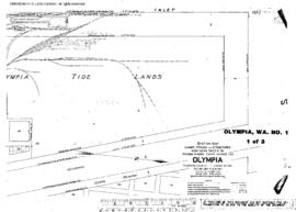
Plat Map of Northern Pacific facilities at Olympia, Washington, April 16, 1931, Sheet Number 1, Line Segment 609, showing the Dock spurs.
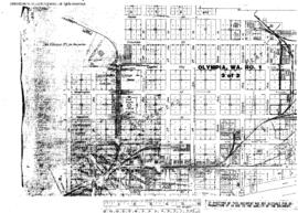
Plat Map of Northern Pacific facilities at Olympia, Washington, April 16, 1931, Sheet Number 3, Line Segment 609, showing the Downtown, depot, industry spurs.
Plat Map of Northern Pacific facilities at Olympia, Washington, April 16, 1931, Sheet Number 2, Line Segment 609, showing the Waterfront, dock andÿindustry spurs.
Plat Map of Northern Pacific facilities at Olympia, Washington, May 12, 1918, Sheet Number 2, Line Segment 609, showing the West bay line.
Plat Map of Northern Pacific facilities at Olympia, Washington, May 12, 1918, Sheet Number 1, Line Segment 609, showing the West Bay, log dump.
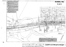
Plat Map of Northern Pacific facilities at Olequa, Washington, August 7, 1915, Sheet Number 2, Line Segment 52, showing the Tacoma-Vancouver line.
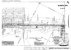
Plat Map of Northern Pacific facilities at Olequa, Washington, August 7, 1915, Sheet Number 1, Line Segment 52, showing the Tacoma-Vancouver line.
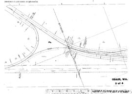
Plat Map of Northern Pacific facilities at Odair, Washington, March 24, 1936, Sheet Number 3, Line Segment 378, showing the Cheney-Coulee City line.
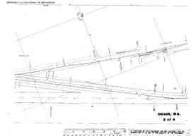
Plat Map of Northern Pacific facilities at Odair, Washington, March 24, 1936, Sheet Number 2, Line Segment 378, showing the Cheney-Coulee City line.