Plat Map of Northern Pacific facilities at Phosphate, Montana, September 13, 1955, Drawing Number 31134-2, Sheet Number 2, Line Segment 342, showing the Phosphate spur.
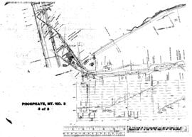
Plat Map of Northern Pacific facilities at Phosphate, Montana, September 13, 1955, Drawing Number 31134-2, Sheet Number 3, Line Segment 342, showing the Phosphate spur.
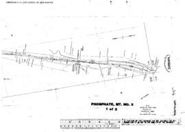
Plat Map of Northern Pacific facilities at Phosphate, Montana, December 14, 1953, Sheet Number 1, Line Segment 342, showing the Phosphate spur.
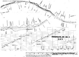
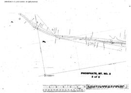
Plat Map of Northern Pacific facilities at Phosphate, Montana, December 14, 1953, Sheet Number 2, Line Segment 342, showing the Phosphate spur.
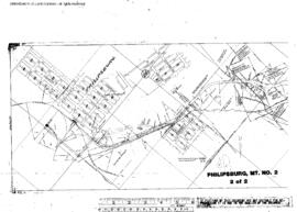
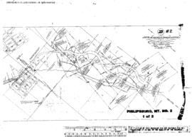
Plat Map of Northern Pacific facilities at Philipsburg, Montana, August 6, 1891, Sheet Number 1, Line Segment 340, showing the Drummond-Philipsburg line, mine spur.
Plat Map of Northern Pacific facilities at Philipsburg, Montana, August 6, 1891, Sheet Number 2, Line Segment 340, showing the Drummond-Philipsburg line, mine spur.
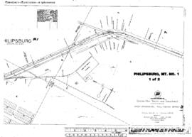
Plat Map of Northern Pacific facilities at Philipsburg, Montana, August 11, 1916, Sheet Number 1, Line Segment 340, showing the Drummond-Philipsburg line.
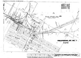
Plat Map of Northern Pacific facilities at Philipsburg, Montana, August 11, 1916, Sheet Number 2, Line Segment 340, showing the Drummond-Philipsburg line.
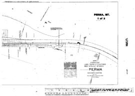
Plat Map of Northern Pacific facilities at Perma, Montana, January 19, 1933, Sheet Number 1, Line Segment 42, showing the Helena-Paradise line.
Plat Map of Northern Pacific facilities at Perma, Montana, January 19, 1933, Sheet Number 2, Line Segment 42, showing the Helena-Paradise line.
Plat Map of Northern Pacific facilities at Perma, Montana, January 19, 1933, Sheet Number 3, Line Segment 42, showing the Helena-Paradise line.
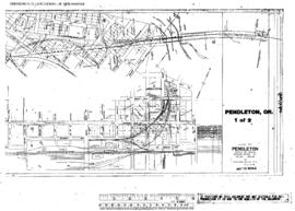
Plat Map of Northern Pacific facilities at Pendleton, Oregon, August 1, 1945, Sheet Number 1, Line Segment 649, showing the Union Pacific Connection-Pendleton line.
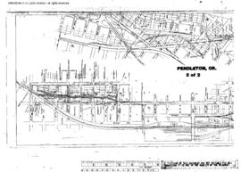
Plat Map of Northern Pacific facilities at Pendleton, Oregon, August 1, 1945, Sheet Number 2, Line Segment 649, showing the Union Pacific Connection-Pendleton line.
Plat Map of Northern Pacific facilities at Pedigo, Washington, September 13, 1912, Sheet Number 2, Line Segment 450, showing the Ainsworth-Dayton line.
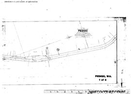
Plat Map of Northern Pacific facilities at Pedigo, Washington, September 13, 1912, Sheet Number 1, Line Segment 450, showing the Ainsworth-Dayton line.
Plat Map of Northern Pacific facilities at Pe Ell, Washington, July 9, 1914, Sheet Number 2, Line Segment 420, showing the Chehalis-South Bend line.
Plat Map of Northern Pacific facilities at Pe Ell, Washington, July 9, 1914, Sheet Number 1, Line Segment 420, showing the Chehalis-South Bend line.
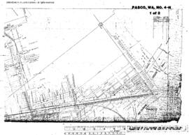
Plat Map of Northern Pacific facilities at Pasco, Washington, undated, Sheet Number 1, Line Segment 46, showing the Spokane-Pasco-Spokane, Portland, and Seattle Railway Junction line, Pasco Yard,ÿwest end.
Plat Map of Northern Pacific facilities at Pasco, Washington, undated, Sheet Number 2, Line Segment 46, showing the Spokane-Pasco-Spokane, Portland, and Seattle Railway Junction line, Pasco Yard,ÿwest end.
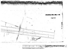
Plat Map of Northern Pacific facilities at Pasco, Washington, July 12, 1958, Sheet Number 1, Line Segment 46, showing the Spokane-Pasco-Spokane, Portland, and Seattle Railway Junction line.
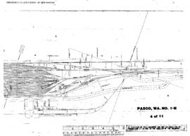
Plat Map of Northern Pacific facilities at Pasco, Washington, July 12, 1958, Sheet Number 4, Line Segment 46, 417, 630, showing the Spokane-Pasco-Spokane, Portland, and Seattle Railway Junction line, Pasco Hump.
Plat Map of Northern Pacific facilities at Pasco, Washington, July 12, 1958, Sheet Number 6, Line Segment 46, 417, 630, showing the Spokane-Pasco-Spokane, Portland, and Seattle Railway Junction line, Pasco Hump.
Plat Map of Northern Pacific facilities at Pasco, Washington, July 12, 1958, Sheet Number 7, Line Segment 46, 417, 630, showing the Spokane-Pasco-Spokane, Portland, and Seattle Railway Junction line, Pasco Hump, west end.
Plat Map of Northern Pacific facilities at Pasco, Washington, July 12, 1958, Sheet Number 8, Line Segment 46, 417, 630, showing the Spokane-Pasco-Spokane, Portland, and Seattle Railway Junction line, Pasco Hump, west end.
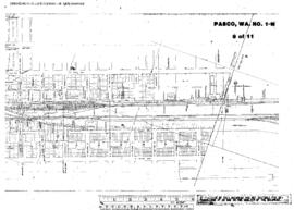
Plat Map of Northern Pacific facilities at Pasco, Washington, July 12, 1958, Sheet Number 9, Line Segment 46, 630, showing the Spokane-Pasco-Spokane, Portland, and Seattle Railway Junction line, Pasco Yard, depot.
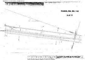
Plat Map of Northern Pacific facilities at Pasco, Washington, July 12, 1958, Sheet Number 2, Line Segment 46, 417, 630, showing the Spokane-Pasco-Spokane, Portland, and Seattle Railway Junction line, Pasco Hump, east end.
Plat Map of Northern Pacific facilities at Pasco, Washington, July 12, 1958, Sheet Number 10, Line Segment 46, 630, showing the Spokane-Pasco-Spokane, Portland, and Seattle Railway Junction line, Pasco Yard, depot, roundhouse, Spokane, Portland, and Seattle Railway mainline.
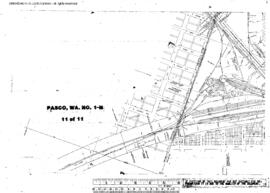
Plat Map of Northern Pacific facilities at Pasco, Washington, July 12, 1958, Sheet Number 11, Line Segment 46, 630, showing the Spokane-Pasco-Spokane, Portland, and Seattle Railway Junction line, Pasco Yard, depot, roundhouse, Spokane, Portland, and Seattle Railway mainline.
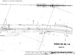
Plat Map of Northern Pacific facilities at Pasco, Washington, July 12, 1958, Sheet Number 3, Line Segment 46, 417, 630, showing the Pasco Hump, east end.
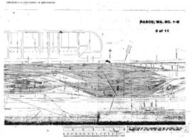
Plat Map of Northern Pacific facilities at Pasco, Washington, July 12, 1958, Sheet Number 5, Line Segment 46, 417, 630, showing the Spokane-Pasco-Spokane, Portland, and Seattle Railway Junction line, Pasco Hump.