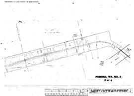
Plat Map of Northern Pacific facilities at Pomona, Washington, June 21, 1905, Sheet Number 2, Line Segment 48, showing the Pasco-Ellensburg line.
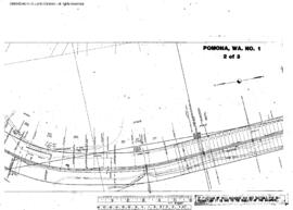
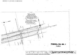
Plat Map of Northern Pacific facilities at Pomona, Washington, June 21, 1905, Sheet Number 1, Line Segment 48, showing the Pasco-Ellensburg line.
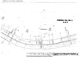
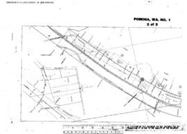
Plat Map of Northern Pacific facilities at Pomona, Washington, June 21, 1905, Sheet Number 3, Line Segment 48, showing the Pasco-Ellensburg line.
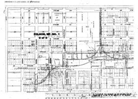
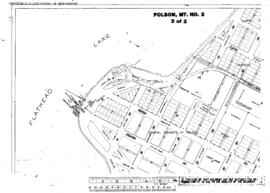
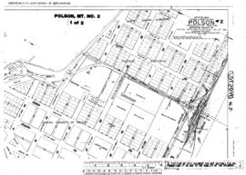
Plat Map of Northern Pacific facilities at Polson, Montana, April 18, 1923, Sheet Number 2, Line Segment 334, showing the Dixon-Polson line.
Plat Map of Northern Pacific facilities at Polson, Montana, April 19, 1923, Sheet Number 2, Line Segment 334, showing the Dixon-Polson line.
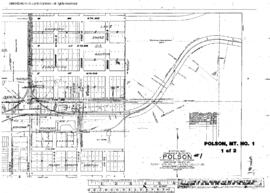
Plat Map of Northern Pacific facilities at Polson, Montana, April 18, 1923, Sheet Number 1, Line Segment 334, showing the Dixon-Polson line.
Plat Map of Northern Pacific facilities at Polson, Montana, April 19, 1923, Sheet Number 1, Line Segment 334, showing the Dixon-Polson line.
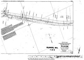
Plat Map of Northern Pacific facilities at Pluvius, Washington, October 18, 1916, Sheet Number 2, Line Segment 420, showing the Chehalis-South Bend line.
Plat Map of Northern Pacific facilities at Pluvius, Washington, October 18, 1916, Sheet Number 1, Line Segment 420, showing the Chehalis-South Bend line.
Plat Map of Northern Pacific facilities at Plaza, Washington, August 21, 1919, Sheet Number 1, Line Segment 384, showing the Marshall-Arrow line.
Plat Map of Northern Pacific facilities at Plaza, Washington, August 21, 1919, Sheet Number 2, Line Segment 384, showing the Marshall-Arrow line.
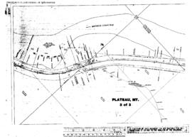
Plat Map of Northern Pacific facilities at Plateau, Montana, October 21, 1932, Sheet Number 3, Line Segment 42, showing the Helena-Paradise line.
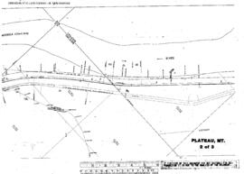
Plat Map of Northern Pacific facilities at Plateau, Montana, October 21, 1932, Sheet Number 2, Line Segment 42, showing the Helena-Paradise line.
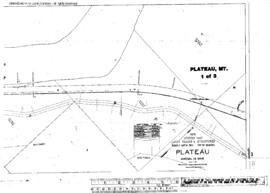
Plat Map of Northern Pacific facilities at Plateau, Montana, October 21, 1932, Sheet Number 1, Line Segment 42, showing the Helena-Paradise line.
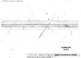
Plat Map of Northern Pacific facilities at Plains, Montana, December 1, 1942, Sheet Number 5, Line Segment 44, showing the Paradise-Kootenai line.
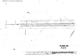
Plat Map of Northern Pacific facilities at Plains, Montana, December 1, 1942, Sheet Number 6, Line Segment 44, showing the Paradise-Kootenai line.
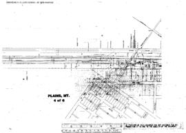
Plat Map of Northern Pacific facilities at Plains, Montana, December 1, 1942, Sheet Number 4, Line Segment 44, showing the Paradise-Kootenai line.
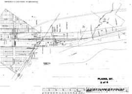
Plat Map of Northern Pacific facilities at Plains, Montana, December 1, 1942, Sheet Number 2, Line Segment 44, showing the Paradise-Kootenai line.
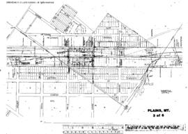
Plat Map of Northern Pacific facilities at Plains, Montana, December 1, 1942, Sheet Number 3, Line Segment 44, showing the Paradise-Kootenai line.
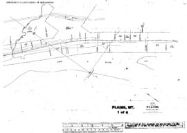
Plat Map of Northern Pacific facilities at Plains, Montana, December 1, 1942, Sheet Number 1, Line Segment 44, showing the Paradise-Kootenai line.
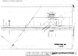
Plat Map of Northern Pacific facilities at Pipestone, Montana, January 18, 1905, Sheet Number 1, Line Segment 326, showing the Logan-Butte line.
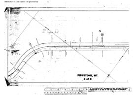
Plat Map of Northern Pacific facilities at Pipestone, Montana, January 18, 1905, Sheet Number 2, Line Segment 326, showing the Logan-Butte line.
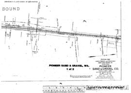
Plat Map of Northern Pacific facilities at Pioneer S&G, Washington, June 1, 1923, Sheet Number 1, Line Segment 52, showing the Tacoma-Vancouver line.
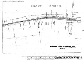
Plat Map of Northern Pacific facilities at Pioneer S&G, Washington, June 1, 1923, Sheet Number 2, Line Segment 52, showing the Tacoma-Vancouver line.
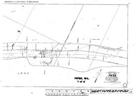
Plat Map of Northern Pacific facilities at Pifer, Washington, February 25, 1916, Sheet Number 1, Line Segment 46, showing the Spokane-Pasco-Spokane, Portland, and Seattle Railway Junction line.
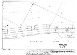
Plat Map of Northern Pacific facilities at Pifer, Washington, February 25, 1916, Sheet Number 2, Line Segment 46, showing the Spokane-Pasco-Spokane, Portland, and Seattle Railway Junction line.
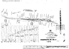
Plat Map of Northern Pacific facilities at Phosphate, Montana, undated, Sheet Number 1, Line Segment 342, showing the Phosphate spur.
Plat Map of Northern Pacific facilities at Phosphate, Montana, September 13, 1955, Drawing Number 31134-2, Sheet Number 1, Line Segment 342, showing the Phosphate spur.