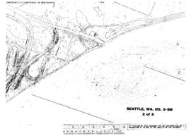
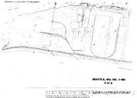
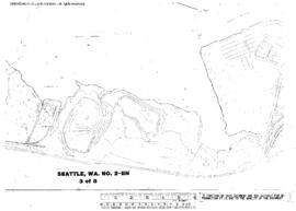
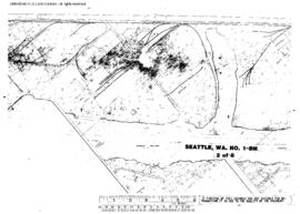
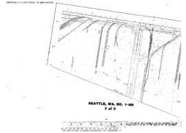
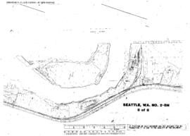
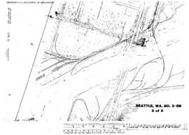
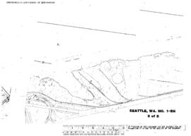
Plat Map of Burlington Northern facilities at Seattle, Washington, January 14, 1972, Sheet Number 5, showing the East Marginal Way, industry spurs, aerial survey map.
Plat Map of Burlington Northern facilities at Seattle, Washington, January 17, 1972, Sheet Number 2, showing the West Marginal Way, Duwamish River, aerial survey map.
Plat Map of Burlington Northern facilities at Seattle, Washington, January 17, 1972, Sheet Number 7, showing the West Marginal Way, Duwamish drawbridge, industry spurs, aerial survey map.
Plat Map of Burlington Northern facilities at Seattle, Washington, January 14, 1972, Sheet Number 3, showing the East Marginal Way, Boeing and industry spurs, aerial survey map.
Plat Map of Burlington Northern facilities at Seattle, Washington, January 17, 1972, Sheet Number 3, showing the West Marginal Way, Duwamish River, aerial survey map.
Plat Map of Burlington Northern facilities at Seattle, Washington, January 14, 1972, Sheet Number 2, showing the East Marginal Way, industry spurs, aerial survey map.
Plat Map of Burlington Northern facilities at Seattle, Washington, January 14, 1972, Sheet Number 7, showing the East Marginal Way, industry spurs, aerial survey map.
Plat Map of Burlington Northern facilities at Seattle, Washington, January 17, 1972, Sheet Number 1, showing the West Marginal Way, Duwamish River, aerial survey map.
Plat Map of Burlington Northern facilities at Seattle, Washington, January 17, 1972, Sheet Number 5, showing the West Marginal Way, Duwamish River, industry spur, aerial survey map.
Plat Map of Burlington Northern facilities at Seattle, Washington, January 17, 1972, Sheet Number 8, showing the West Marginal Way, Harbor Island south end, Duwamish drawbridge, industry spurs, aerial survey map.