US WaBuPNRA D0027-010-012-002-Plat012113
·
Item
·
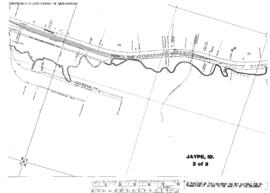
September 1, 1928
Part of Timothy Miller Collection
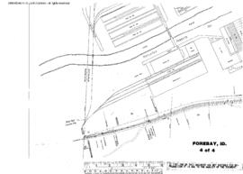
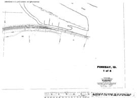
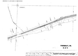
Plat Map of Canadian Pacific facilities at Jaype, Idaho, September 1, 1928, Sheet Number 1, Line Segment 462, showing the Arrow-Headquarters line.