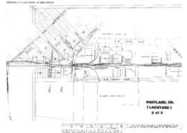
US WaBuPNRA D0027-007-012-002-Plat011628
·
Item
·
December 1, 1943
Part of Timothy Miller Collection
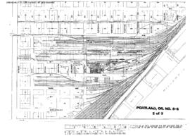
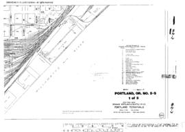
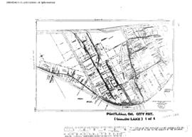
Plat Map of Spokane, Portland, and Seattle Railway facilities at Portland, Oregon, December 1, 1943, Sheet Number 1, Line Segment 647, showing the Guild's Lake Yard, roundhouse.