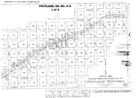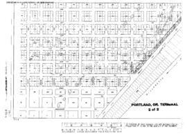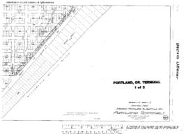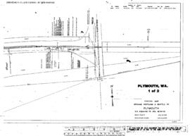
US WaBuPNRA D0027-007-012-002-Plat011666
·
Item
·
June 30, 1916
Part of Timothy Miller Collection
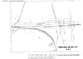
Plat Map of Spokane, Portland, and Seattle Railway facilities at Portland, Oregon, June 30, 1916, Sheet Number 2, Line Segment 47, showing the Latah Junction-Portland line, Columbia bridge.