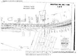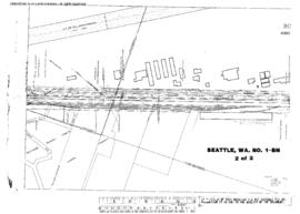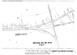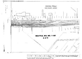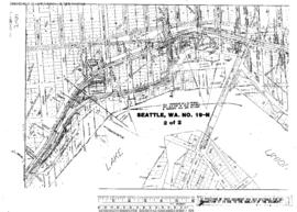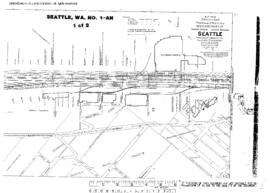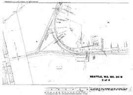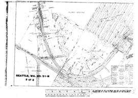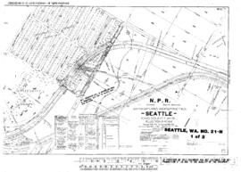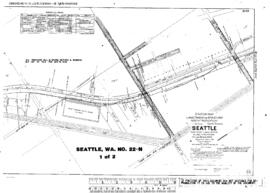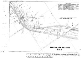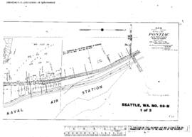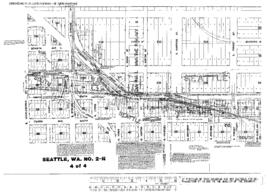
Plat Map of Northern Pacific facilities at Seattle, Washington, April 1, 1919, Sheet Number 4, Line Segment 430, showing the Seattle-Argo line, Shore line, Spokane Street.
Plat Map of Northern Pacific facilities at Seattle, Washington, September 1, 1919, Sheet Number 2, Line Segment 430, showing the Seattle-Argo line, Shore line, Airport Way-Argo.
Plat Map of Northern Pacific facilities at Seattle, Washington, October 15, 1918, Sheet Number 1, Line Segment 430, 623, showing the Seattle-Argo line, Stacy Street, Argo Yard, ColoradoÿAvenue lead, industry spurs.
Plat Map of Northern Pacific facilities at Seattle, Washington, October 15, 1918, Sheet Number 2, showing the East Marginal Way, government and industry spurs.
Plat Map of Northern Pacific facilities at Seattle, Washington, October 21, 1915, Sheet Number 1, Line Segment 51, showing the Seattle-Tacoma line, Milwaukee Road Van Asselt, south end.
Plat Map of Northern Pacific facilities at Seattle, Washington, October 21, 1915, Sheet Number 2, Line Segment 51, showing the Seattle-Tacoma line, Airport Way, south end.
Plat Map of Northern Pacific facilities at Seattle, Washington, December 17, 1915, Sheet Number 1, Line Segment 403, showing the Seattle-Sumas line, University, 7th Avenue Northeast-University of Washington campus.
Plat Map of Northern Pacific facilities at Seattle, Washington, December 22, 1915, Sheet Number 2, Line Segment 403, showing the Seattle-Sumas line, University of Washington campus east side.
Plat Map of Northern Pacific facilities at Seattle, Washington, October 1, 1915, Sheet Number 2, Line Segment 51, showing the Seattle-Tacoma line, Milwaukee Road Van Asselt Yard.
Plat Map of Northern Pacific facilities at Seattle, Washington, December 17, 1915, Sheet Number 2, Line Segment 403, showing the Seattle-Sumas line, Latona, Eastern Avenue North-11th Avenue Northeast.
Plat Map of Northern Pacific facilities at Seattle, Washington, December 22, 1915, Sheet Number 1, Line Segment 403, showing the Seattle-Sumas line, Ravenna, 25th Avenue Northeast-30th Avenue Northeast.
Plat Map of Northern Pacific facilities at Seattle, Washington, October 1, 1915, Sheet Number 1, Line Segment 51, showing the Seattle-Tacoma line, Georgetown, industry spurs.
Plat Map of Northern Pacific facilities at Seattle, Washington, December 22, 1915, Sheet Number 3, Line Segment 403, showing the Seattle-Sumas line, Northeast Pacific Street-25th Avenue Northeast, University of Washington campus.
Plat Map of Northern Pacific facilities at Seattle, Washington, December 22, 1915, Sheet Number 4, Line Segment 403, showing the Seattle-Sumas line, Montlake Cut.
Plat Map of Northern Pacific facilities at Seattle, Washington, October 15, 1914, Sheet Number 2, Line Segment 403, showing the Seattle-Sumas line, 30th Avenue Northeast-39th Avenue Northeast.
Plat Map of Northern Pacific facilities at Seattle, Washington, October 15, 1914, Sheet Number 1, Line Segment 403, showing the Seattle-Sumas line, 39th Avenue Northeast-45th Avenue Northeast.
Plat Map of Northern Pacific facilities at Seattle, Washington, November 4, 1914, Sheet Number 1, Line Segment 403, showing the Seattle-Sumas line, Sand Point, Naval Station.
Plat Map of Northern Pacific facilities at Seattle, Washington, November 4, 1914, Sheet Number 2, Line Segment 403, showing the Seattle-Sumas line, Keith, Sand Point Way Northeast.
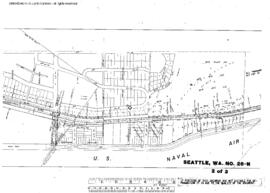
Plat Map of Northern Pacific facilities at Seattle, Washington, March 15, 1913, Sheet Number 1, showing the West Seattle Yard, Harbor Avenue Southwest.
Plat Map of Northern Pacific facilities at Seattle, Washington, March 15, 1913, Sheet Number 2, showing the West Seattle, Harbor Avenue Southwest.
Plat Map of Northern Pacific facilities at Seattle, Washington, March 15, 1913, Sheet Number 3, showing the West Seattle, Harbor Avenue Southwest, north end.
Plat Map of Northern Pacific facilities at Seattle, Washington, January 7, 1910, Sheet Number 1, Line Segment 403, showing the Seattle-Sumas line, Pontiac, Sand Point Naval Air Station.
Plat Map of Northern Pacific facilities at Seattle, Washington, January 7, 1910, Sheet Number 2, Line Segment 403, showing the Seattle-Sumas line, Sand Point Naval Air Station.
Plat Map of Northern Pacific facilities at Seattle, Washington, January 7, 1910, Sheet Number 3, Line Segment 403, showing the Seattle-Sumas line, county road (Sand Point Way Northeast).
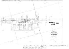
Plat Map of Northern Pacific facilities at Schrag, Washington, December 20, 1917, Sheet Number 1, Line Segment 449, showing the Schrag-Bassett Junction line.
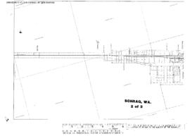
Plat Map of Northern Pacific facilities at Schrag, Washington, December 20, 1917, Sheet Number 2, Line Segment 449, showing the Schrag-Bassett Junction line.
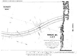
Plat Map of Northern Pacific facilities at Schley, Montana, July 8, 1916, Sheet Number 1, Line Segment 42, showing the Helena-Paradise line.
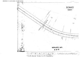
Plat Map of Northern Pacific facilities at Schley, Montana, July 8, 1916, Sheet Number 2, Line Segment 42, showing the Helena-Paradise line.
Plat Map of Northern Pacific facilities at Scalley, Washington, October 30, 1953, Sheet Number 1, Line Segment 379, showing the Odair-Connell line.
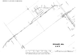
Plat Map of Northern Pacific facilities at Scalley, Washington, October 30, 1953, Sheet Number 2, Line Segment 379, showing the Odair-Connell line.