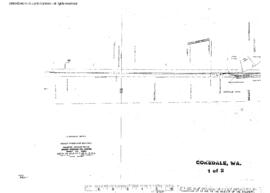
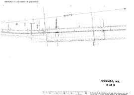
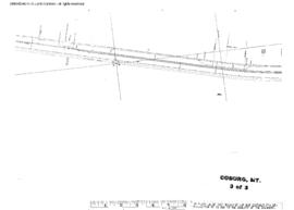
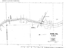
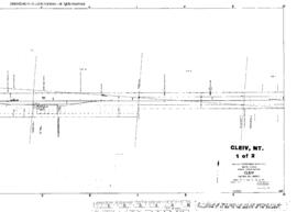
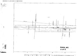
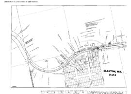
Plat Map of Great Northern facilities at Cokedale, Washington, March 1, 1914, Sheet Number 2, Line Segment 409, showing the Concrete-Anacortes line.
Plat Map of Great Northern facilities at Cokedale, Washington, March 1, 1914, Sheet Number 1, Line Segment 409, showing the Concrete-Anacortes line.
Plat Map of Great Northern facilities at Coburg, Montana, January 1, 1966, Sheet Number 1, Line Segment 35, showing the Minot-Pacific Junction line.
Plat Map of Great Northern facilities at Coburg, Montana, January 1, 1966, Sheet Number 2, Line Segment 35, showing the Minot-Pacific Junction line.
Plat Map of Great Northern facilities at Coburg, Montana, January 1, 1966, Sheet Number 3, Line Segment 35, showing the Minot-Pacific Junction line.
Plat Map of Great Northern facilities at Cline, Washington, undated, Sheet Number 1, Line Segment 376, showing the Boundary-Dean-Kettle Falls line.
Plat Map of Great Northern facilities at Cline, Washington, undated, Sheet Number 2, Line Segment 376, showing the Boundary-Dean-Kettle Falls line.
Plat Map of Great Northern facilities at Cleiv, Montana, March 1, 1915, Sheet Number 1, Line Segment 360, showing the Power-Pendroy line.
Plat Map of Great Northern facilities at Cleiv, Montana, March 1, 1915, Sheet Number 2, Line Segment 360, showing the Power-Pendroy line.
Plat Map of Great Northern facilities at Clayton, Washington, undated, Sheet Number 2, Line Segment 376, showing the Boundary-Dean-Kettle Falls line.