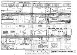
US WaBuPNRA D0027-003-012-002-Plat014085
·
Item
·
undated
Part of Timothy Miller Collection
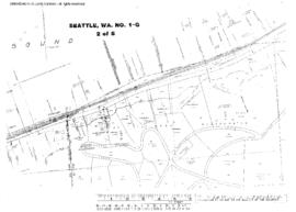
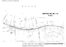
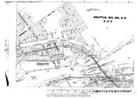
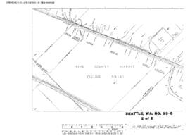
Plat Map of Great Northern facilities at Seattle, Washington, undated, Sheet Number 2, Line Segment 619, showing the Elliott Avenue West.