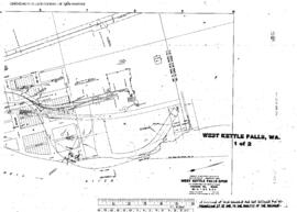
US WaBuPNRA D0027-003-012-002-Plat010365
·
Item
·
1-Nov-45
Part of Timothy Miller Collection
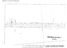
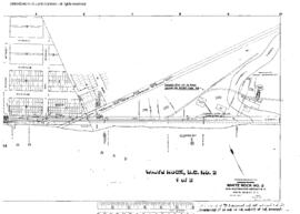
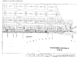
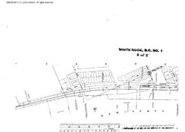
Plat Map of Great Northern facilities at West Kettle Falls, Washington, November 1, 1945, Sheet Number 2, Line Segment 377, showing the Kettle Falls-Republic line.