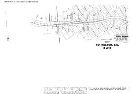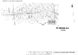
US WaBuPNRA D0027-003-012-002-Plat013803
·
Item
·
November 1, 1965
Part of Timothy Miller Collection
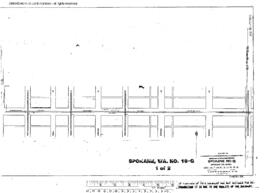
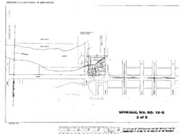
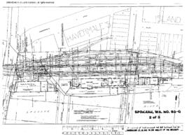
Plat Map of Great Northern facilities at South Nelson, British Columbia, November 1, 1965, Sheet Number 1, Line Segment 391, showing the Nelson-Boundary line.