Plat Map of Spokane, Portland, and Seattle Railway facilities at Pitt, Washington, December 9, 1915, Sheet Number 1, Line Segment 47, showing the Latah Junction-Portland line.
Plat Map of Spokane, Portland, and Seattle Railway facilities at Pitt, Washington, December 9, 1915, Sheet Number 2, Line Segment 47, showing the Latah Junction-Portland line.
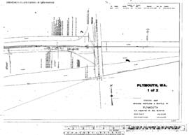
Plat Map of Spokane, Portland, and Seattle Railway facilities at Plymouth, Washington, July 27, 1953, Sheet Number 1, Line Segment 47, showing the Latah Junction-Portland line.
Plat Map of Spokane, Portland, and Seattle Railway facilities at Plymouth, Washington, July 27, 1953, Sheet Number 2, Line Segment 47, showing the Latah Junction-Portland line.
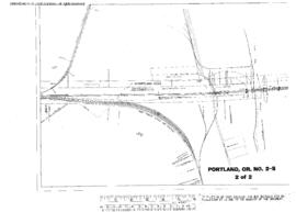
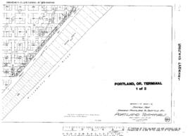
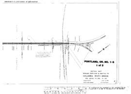
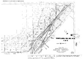
Plat Map of Spokane, Portland, and Seattle Railway facilities at Portland, Oregon, June 30, 1916, Sheet Number 1, Line Segment 47, showing the Latah Junction-Portland line, Columbia bridge.
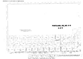
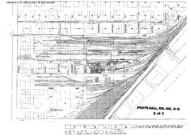
Plat Map of Spokane, Portland, and Seattle Railway facilities at Portland, Oregon, June 30, 1916, Sheet Number 2, Line Segment 47, showing the Latah Junction-Portland line, Columbia bridge.
Plat Map of Spokane, Portland, and Seattle Railway facilities at Portland, Oregon, June 30, 1916, Sheet Number 1, Line Segment 647, showing the East Portland, Sullivan's Gulch right of way.
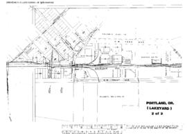
Plat Map of Spokane, Portland, and Seattle Railway facilities at Portland, Oregon, June 30, 1916, Sheet Number 2, Line Segment 647, showing the East Portland, Steel Bridge, Sullivan's Gulch right of way.
Plat Map of Spokane, Portland, and Seattle Railway facilities at Portland, Oregon, June 30, 1916, Sheet Number 2, Line Segment 647, showing the Front Street right of way.
Plat Map of Spokane, Portland, and Seattle Railway facilities at Portland, Oregon, June 30, 1916, Sheet Number 1, Line Segment 647, showing the Front Street right of way.
Plat Map of Spokane, Portland, and Seattle Railway facilities at Portland, Oregon, December 1, 1943, Sheet Number 2, Line Segment 647, showing the Sherlock Avenue, industry spurs.
Plat Map of Spokane, Portland, and Seattle Railway facilities at Portland, Oregon, December 1, 1943, Sheet Number 1, Line Segment 647, showing the Guild's Lake Yard, roundhouse.
Plat Map of Spokane, Portland, and Seattle Railway facilities at Portland, Oregon, June 12, 1946, Sheet Number 1, Line Segment 47, showing the Latah Junction-Portland line, Columbia bridge.
Plat Map of Spokane, Portland, and Seattle Railway facilities at Portland, Oregon, June 12, 1946, Sheet Number 2, Line Segment 47, showing the Latah Junction-Portland line, Columbia bridge.
Plat Map of Spokane, Portland, and Seattle Railway facilities at Portland, Oregon, August 4, 1948, Sheet Number 2, Line Segment 647, showing the 15th Avenue line.
Plat Map of Spokane, Portland, and Seattle Railway facilities at Portland, Oregon, August 4, 1948, Sheet Number 1, Line Segment 647, showing the Sherlock Avenue, Front Street yards, spurs.
Plat Map of Spokane, Portland, and Seattle Railway facilities at Portland, Oregon, August 27, 1954, Sheet Number 2, Line Segment 647, showing the Hoyt Street Yard, roundhouse, Union Station.
Plat Map of Spokane, Portland, and Seattle Railway facilities at Portland, Oregon, August 27, 1954, Sheet Number 1, Line Segment 647, showing the Hoyt Street Yard.
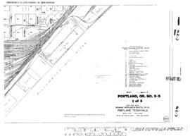
Plat Map of Spokane, Portland, and Seattle Railway facilities at Portland, Oregon, August 27, 1954, Sheet Number 3, Line Segment 647, showing the Track diagram.
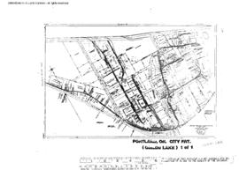
Plat Map of Spokane, Portland, and Seattle Railway facilities at Portland, Oregon, undated, Sheet Number 1, Line Segment 647, showing the Downtown industry spurs, Saint Helens Road.
Plat Map of Spokane, Portland, and Seattle Railway facilities at Prindle, Washington, February 10, 1915, Sheet Number 1, Line Segment 47, showing the Latah Junction-Portland line.
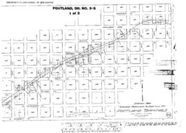
Plat Map of Spokane, Portland, and Seattle Railway facilities at Prindle, Washington, February 10, 1915, Sheet Number 2, Line Segment 47, showing the Latah Junction-Portland line.
Plat Map of Spokane, Portland, and Seattle Railway facilities at Prineville Junction, Oregon, March 10, 1919, Sheet Number 1, Line Segment 53, showing the Wishram-Bend line.
Plat Map of Spokane, Portland, and Seattle Railway facilities at Prineville Junction, Oregon, March 10, 1919, Sheet Number 2, Line Segment 53, showing the Wishram-Bend line.
Plat Map of Spokane, Portland, and Seattle Railway facilities at Quincy, Oregon, March 25, 1915, Sheet Number 2, Line Segment 440, showing the Willbridge-Seaside line.
Plat Map of Spokane, Portland, and Seattle Railway facilities at Quincy, Oregon, March 25, 1915, Sheet Number 1, Line Segment 440, showing the Willbridge-Seaside line.
Plat Map of Spokane, Portland, and Seattle Railway facilities at Rainier, Oregon, October 30, 1914, Sheet Number 2, Line Segment 440, showing the Willbridge-Seaside line.
Plat Map of Spokane, Portland, and Seattle Railway facilities at Rainier, Oregon, October 30, 1914, Sheet Number 1, Line Segment 440, showing the Willbridge-Seaside line.
Plat Map of Spokane, Portland, and Seattle Railway facilities at Redd, Washington, April 14, 1915, Sheet Number 1, Line Segment 47, showing the Latah Junction-Portland line.
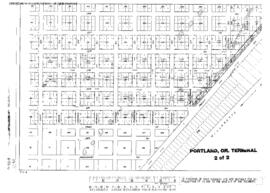
Plat Map of Spokane, Portland, and Seattle Railway facilities at Redd, Washington, April 14, 1915, Sheet Number 2, Line Segment 47, showing the Latah Junction-Portland line.