Plat Map of Great Northern facilities at Acme, Montana, undated, Sheet Number 1, Line Segment 354, showing the Great Falls-Sweet Grass line.
Plat Map of Burlington Northern facilities at Portland, Oregon, undated, Sheet Number 2, Line Segment 647, showing the area, yards, Willamette drawbridge.
Plat Map of Burlington Northern facilities at Portland, Oregon, undated, Sheet Number 1, Line Segment 647, showing the Portland Union Station, coach yard, turntable.
Plat Map of Burlington Northern facilities at Portland, Oregon, undated, Sheet Number 1, Line Segment 647, showing the area.
Plat Map of Burlington Northern facilities at Fort Harrison, Montana, undated, Sheet Number 1, illegible.
Plat Map of Burlington Northern facilities at Everett, Washington, undated, Sheet Number 1, showing the Kroll map of Everett and vicinity.
Plat Map of Burlington Northern facilities at Basin City, Washington, undated, Sheet Number 1, showing the line proposed, not built.
Plat Map of Cowlitz, Chehalis, & Cascade Railroad facilities at Chehalis, Washington, December 31, 1925, Sheet Number 1, showing the Cowlitz, Chehalis & Cascade Railway yard.
Plat Map of Cowlitz, Chehalis, & Cascade Railroad facilities at Chehalis, Washington, December 31, 1925, Sheet Number 2, showing the Cowlitz, Chehalis & Cascade Railway yard, Northern Pacific interchange.
Plat Map of Canadian Pacific facilities at Tramway, Idaho, August 20, 1903, Sheet Number 1, Line Segment 461, showing the Orofino-Stites line.
Plat Map of Canadian Pacific facilities at Tramway, Idaho, August 20, 1903, Sheet Number 2, Line Segment 461, showing the Orofino-Stites line.
Plat Map of Canadian Pacific facilities at Sweetwater, Idaho, September 29, 1913, Sheet Number 2, Line Segment 460, showing the Spalding-Grangeville line.
Plat Map of Canadian Pacific facilities at Sweetwater, Idaho, September 29, 1913, Sheet Number 1, Line Segment 460, showing the Spalding-Grangeville line.
Plat Map of Canadian Pacific facilities at Summit, Idaho, undated, Sheet Number 2, Line Segment 462, showing the Arrow-Headquarters line.
Plat Map of Canadian Pacific facilities at Summit, Idaho, undated, Sheet Number 1, Line Segment 462, showing the Arrow-Headquarters line.
Plat Map of Canadian Pacific facilities at Stites, Idaho, November 9, 1918, Sheet Number 2, Line Segment 461, showing the Orofino-Stites line.
Plat Map of Canadian Pacific facilities at Stites, Idaho, November 9, 1918, Sheet Number 1, Line Segment 461, showing the Orofino-Stites line.
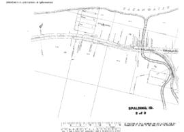
Plat Map of Canadian Pacific facilities at Spalding, Idaho, undated, Sheet Number 2, Line Segment 459, 460, showing the Arrow-Lewiston line, Spalding-Grangevilleÿline.
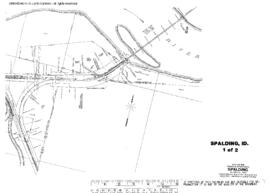
Plat Map of Canadian Pacific facilities at Spalding, Idaho, undated, Sheet Number 1, Line Segment 459, 460, showing the Arrow-Lewiston line, Spalding-Grangeville line.
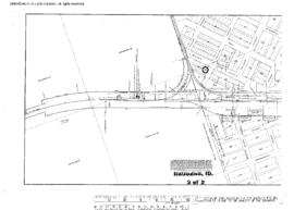
Plat Map of Canadian Pacific facilities at Rudo, Idaho, September 1, 1928, Sheet Number 2, Line Segment 462, showing the Arrow-Headquarters line.
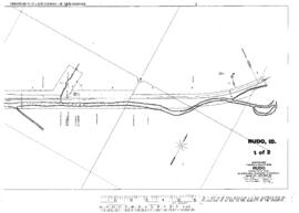
Plat Map of Canadian Pacific facilities at Rudo, Idaho, September 1, 1928, Sheet Number 1, Line Segment 462, showing the Arrow-Headquarters line.
Plat Map of Canadian Pacific facilities at Reubens, Idaho, July 1, 1913, Sheet Number 1, Line Segment 460, showing the Spalding-Grangeville line.
Plat Map of Canadian Pacific facilities at Reubens, Idaho, July 1, 1913, Sheet Number 2, Line Segment 460, showing the Spalding-Grangeville line.
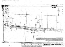
Plat Map of Canadian Pacific facilities at Peck, Idaho, March 14, 1908, Sheet Number 2, Line Segment 462, showing the Arrow-Headquarters line.
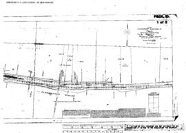
Plat Map of Canadian Pacific facilities at Peck, Idaho, March 14, 1908, Sheet Number 1, Line Segment 462, showing the Arrow-Headquarters line.
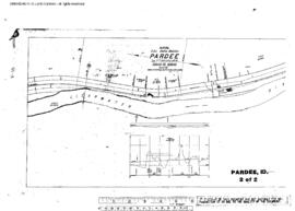
Plat Map of Canadian Pacific facilities at Pardee, Idaho, October 29, 1910, Sheet Number 2, Line Segment 461, showing the Orofino-Stites line.
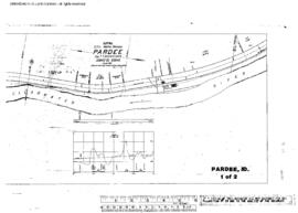
Plat Map of Canadian Pacific facilities at Pardee, Idaho, October 29, 1910, Sheet Number 1, Line Segment 461, showing the Orofino-Stites line.
Plat Map of Canadian Pacific facilities at Orofino, Idaho, undated, Sheet Number 1, Line Segment 462, showing the Arrow-Headquarters line.