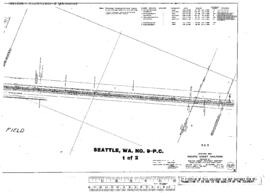
Plat Map of Pacific Coast Railroad facilities at Seattle, Washington, April 1, 1916, Sheet Number 1, Line Segment 410, showing the Spokane Street-Maple Valley line, south Seattle.
Plat Map of Pacific Coast Railroad facilities at Seattle, Washington, January 14, 1972, Sheet Number 8, showing the East Marginal Way, industry spurs, aerial survey map.
Plat Map of Spokane, Portland, and Seattle Railway facilities at Ainsworth Junction, Washington, November 6, 1913, Sheet Number 3, Line Segment 47, showing the Latah Junction-Portland line.
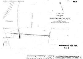
Plat Map of Spokane, Portland, and Seattle Railway facilities at Ainsworth Junction, Washington, November 6, 1913, Sheet Number 1, Line Segment 47, showing the Latah Junction-Portland line.
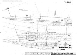
Plat Map of Spokane, Portland, and Seattle Railway facilities at Ainsworth Junction, Washington, November 6, 1913, Sheet Number 4, Line Segment 47, showing the Latah Junction-Portland line.
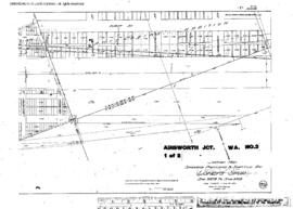
Plat Map of Spokane, Portland, and Seattle Railway facilities at Ainsworth Junction, Washington, November 6, 1913, Sheet Number 2, Line Segment 47, showing the Latah Junction-Portland line.
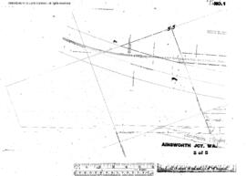
Plat Map of Spokane, Portland, and Seattle Railway facilities at Ainsworth Junction, Washington, November 6, 1913, Sheet Number 5, Line Segment 47, showing the Latah Junction-Portland line.
Plat Map of Spokane, Portland, and Seattle Railway facilities at Ainsworth Junction, Washington, June 30, 1916, Sheet Number 1, Line Segment 47, showing the Latah Junction-Portland line.
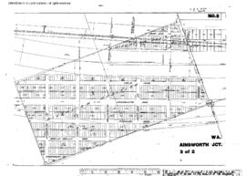
Plat Map of Spokane, Portland, and Seattle Railway facilities at Ainsworth Junction, Washington, June 30, 1916, Sheet Number 2, Line Segment 47, showing the Latah Junction-Portland line.
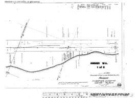
Plat Map of Spokane, Portland, and Seattle Railway facilities at Amber, Washington, May 24, 1915, Sheet Number 2, Line Segment 47, showing the Latah Junction-Portland line.
Plat Map of Spokane, Portland, and Seattle Railway facilities at Amber, Washington, May 24, 1915, Sheet Number 1, Line Segment 47, showing the Latah Junction-Portland line.
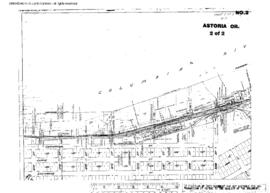
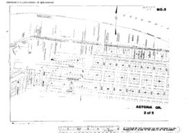
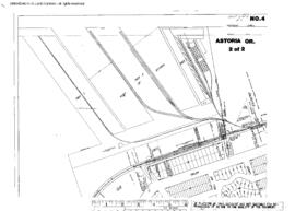
Plat Map of Spokane, Portland, and Seattle Railway facilities at Astoria, Oregon, June 30, 1916, Sheet Number 2, Line Segment 440, showing the Willbridge-Seaside line, yard, depot.
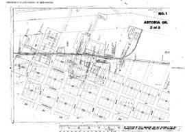
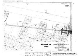
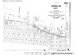
Plat Map of Spokane, Portland, and Seattle Railway facilities at Astoria, Oregon, June 30, 1916, Sheet Number 1, Line Segment 440, showing the Willbridge-Seaside line, yard, engine facility.
Plat Map of Spokane, Portland, and Seattle Railway facilities at Astoria, Oregon, April 12, 1917, Sheet Number 2, Line Segment 440, showing the Willbridge-Seaside line.
Plat Map of Spokane, Portland, and Seattle Railway facilities at Astoria, Oregon, April 12, 1917, Sheet Number 1, Line Segment 440, showing the Willbridge-Seaside line.
Plat Map of Spokane, Portland, and Seattle Railway facilities at Astoria, Oregon, June 30, 1918, Sheet Number 2, Line Segment 440, showing the Willbridge-Seaside line.
Plat Map of Spokane, Portland, and Seattle Railway facilities at Astoria, Oregon, June 8, 1918, Sheet Number 1, Line Segment 440, showing the Willbridge-Seaside line,ÿdock spurs.
Plat Map of Spokane, Portland, and Seattle Railway facilities at Astoria, Oregon, June 30, 1918, Sheet Number 1, Line Segment 440, showing the Willbridge-Seaside line.
Plat Map of Spokane, Portland, and Seattle Railway facilities at Astoria, Oregon, June 8, 1918, Sheet Number 2, Line Segment 440, showing the Willbridge-Seaside line, dock spurs.
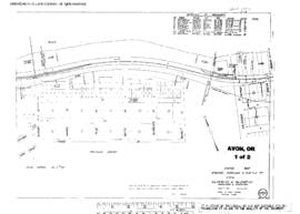
Plat Map of Spokane, Portland, and Seattle Railway facilities at Avon, Oregon, October 20, 1914, Sheet Number 1, Line Segment 440, showing the Willbridge-Seaside line.
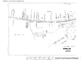
Plat Map of Spokane, Portland, and Seattle Railway facilities at Avon, Oregon, October 20, 1914, Sheet Number 2, Line Segment 440, showing the Willbridge-Seasideÿline.
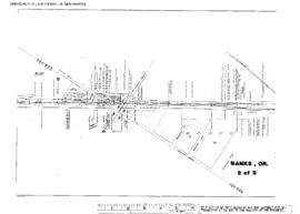
Plat Map of Spokane, Portland, and Seattle Railway facilities at Banks, Oregon, March 31, 1932, Sheet Number 2, Line Segment 443, showing the Bowers Junction-Vernonia line.
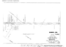
Plat Map of Spokane, Portland, and Seattle Railway facilities at Banks, Oregon, March 31, 1932, Sheet Number 1, Line Segment 443, showing the Bowers Junction-Vernonia line.
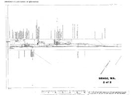
Plat Map of Spokane, Portland, and Seattle Railway facilities at Benge, Washington, September 29, 1915, Sheet Number 2, Line Segment 47, showing the Latah Junction-Portland line.
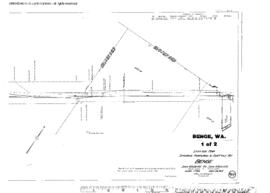
Plat Map of Spokane, Portland, and Seattle Railway facilities at Benge, Washington, September 29, 1915, Sheet Number 1, Line Segment 47, showing the Latah Junction-Portland line.
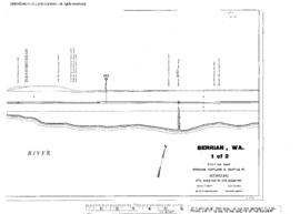
Plat Map of Spokane, Portland, and Seattle Railway facilities at Berrian, Washington, July 30, 1953, Sheet Number 1, Line Segment 47, showing the Latah Junction-Portland line.
Plat Map of Spokane, Portland, and Seattle Railway facilities at Berrian, Washington, July 30, 1953, Sheet Number 2, Line Segment 47, showing the Latah Junction-Portland line.
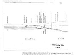
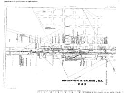
Plat Map of Spokane, Portland, and Seattle Railway facilities at Bingen-White Salmon, Washington, August 1, 1946, Sheet Number 2, Line Segment 47, showing the Latah Junction-Portland line.
Plat Map of Spokane, Portland, and Seattle Railway facilities at Bingen-White Salmon, Washington, August 1, 1946, Sheet Number 1, Line Segment 47, showing the Latah Junction-Portland line.
Plat Map of Spokane, Portland, and Seattle Railway facilities at Bowers Junction, Oregon, February 8, 1915, Sheet Number 1, Line Segment 443, showing the Bowers Junction-Vernonia line.