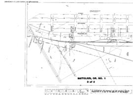
Plat Map of Oregon Trunk facilities at Metolius, Oregon, August 31, 1948, Sheet Number 2, Line Segment 686, showing the Metolius yard.
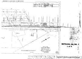
Plat Map of Oregon Trunk facilities at Metolius, Oregon, August 31, 1948, Sheet Number 1, Line Segment 686, showing the Metolius yard.
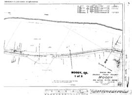
Plat Map of Oregon Trunk facilities at Moody, Oregon, June 30, 1916, Sheet Number 1, Line Segment 53, showing the Wishram-Bend line.
Plat Map of Oregon Trunk facilities at Moody, Oregon, June 30, 1916, Sheet Number 2, Line Segment 53, showing the Wishram-Bend line.
Plat Map of Oregon Trunk facilities at Nena, Oregon, June 30, 1916, Sheet Number 1, Line Segment 53, showing the Wishram-Bend line.
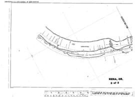
Plat Map of Oregon Trunk facilities at Nena, Oregon, June 30, 1916, Sheet Number 2, Line Segment 53, showing the Wishram-Bend line.
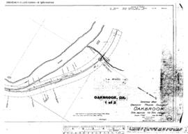
Plat Map of Oregon Trunk facilities at Oakbrook, Oregon, June 30, 1915, Sheet Number 1, Line Segment 53, showing the Wishram-Bend line.
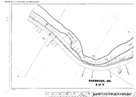
Plat Map of Oregon Trunk facilities at Oakbrook, Oregon, June 30, 1915, Sheet Number 2, Line Segment 53, showing the Wishram-Bend line.
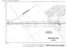
Plat Map of Oregon Trunk facilities at Opal City, Oregon, March 30, 1916, Sheet Number 2, Line Segment 53, showing the Wishram-Bend line.
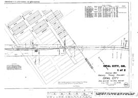
Plat Map of Oregon Trunk facilities at Opal City, Oregon, March 30, 1916, Sheet Number 1, Line Segment 53, showing the Wishram-Bend line.
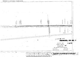
Plat Map of Oregon Trunk facilities at Redmond, Oregon, June 1, 1916, Sheet Number 1, Line Segment 53, showing the Wishram-Bend line, depot, yard.
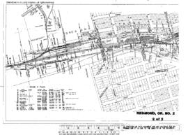
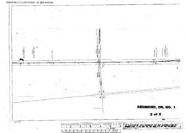
Plat Map of Oregon Trunk facilities at Redmond, Oregon, June 1, 1916, Sheet Number 2, Line Segment 53, showing the Wishram-Bend line, depot, yard, industry spurs.
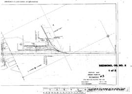
Plat Map of Oregon Trunk facilities at Redmond, Oregon, May 8, 1946, Sheet Number 1, Line Segment 53, showing the Wishram-Bend line, industry spur.
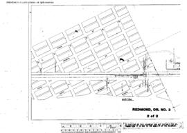
Plat Map of Oregon Trunk facilities at Redmond, Oregon, May 8, 1946, Sheet Number 2, Line Segment 53, showing the Wishram-Bend line.
Plat Map of Oregon Trunk facilities at Redmond, Oregon, November 27, 1951, Sheet Number 1, Line Segment 53, showing the Wishram-Bend line.
Plat Map of Oregon Trunk facilities at Redmond, Oregon, November 27, 1951, Sheet Number 2, Line Segment 53, showing the Wishram-Bend line.
Plat Map of Oregon Trunk facilities at Redmond, Oregon, undated, Sheet Number 1, Line Segment 53, showing the Wishram-Bend line, industry spur.
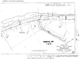
Plat Map of Oregon Trunk facilities at Sherar, Oregon, June 30, 1916, Sheet Number 1, Line Segment 53, showing the Wishram-Bend line.
Plat Map of Oregon Trunk facilities at Sherar, Oregon, June 30, 1916, Sheet Number 2, Line Segment 53, showing the Wishram-Bend line.
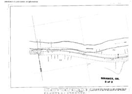
Plat Map of Oregon Trunk facilities at Sinamox, Oregon, June 30, 1916, Sheet Number 2, Line Segment 53, showing the Wishram-Bend line.
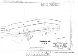
Plat Map of Oregon Trunk facilities at Sinamox, Oregon, June 30, 1916, Sheet Number 1, Line Segment 53, showing the Wishram-Bend line.
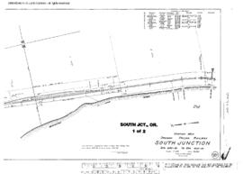
Plat Map of Oregon Trunk facilities at South Junction, Oregon, June 30, 1916, Sheet Number 1, Line Segment 53, showing the Wishram-Bend line.
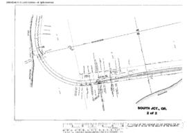
Plat Map of Oregon Trunk facilities at South Junction, Oregon, June 30, 1916, Sheet Number 2, Line Segment 53, showing the Wishram-Bend line.
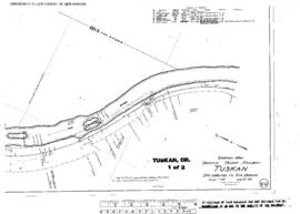
Plat Map of Oregon Trunk facilities at Tuskan, Oregon, June 30, 1916, Sheet Number 1, Line Segment 53, showing the Wishram-Bend line.
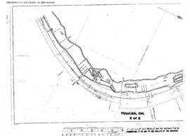
Plat Map of Oregon Trunk facilities at Tuskan, Oregon, June 30, 1916, Sheet Number 2, Line Segment 53, showing the Wishram-Bend line.
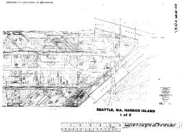
Plat Map of Oregon Western Railroad and Navigation Company facilities at Seattle, Washington, undated, Sheet Number 1, showing the Harbor Island, south end, East and West waterways, industry spurs.
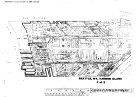
Plat Map of Oregon Western Railroad and Navigation Company facilities at Seattle, Washington, undated, Sheet Number 2, showing the Harbor Island,ÿnorth end, East and West waterways, industry spurs.
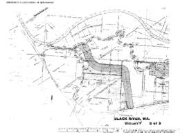
Plat Map of Pacific Coast Railroad facilities at Black River, Washington, December 1, 1953, Sheet Number 2, Line Segment 410, showing the Spokane Street-Maple Valley line.
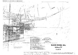
Plat Map of Pacific Coast Railroad facilities at Black River, Washington, December 1, 1953, Sheet Number 1, Line Segment 410, showing the Spokane Street-Maple Valley line.
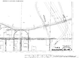
Plat Map of Pacific Coast Railroad facilities at Earlington, Washington, August 1, 1965, Sheet Number 1, Line Segment 410, showing the Spokane Street (Seattle)-Maple Valley line.