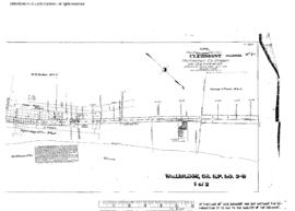
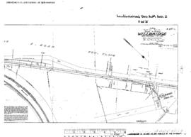
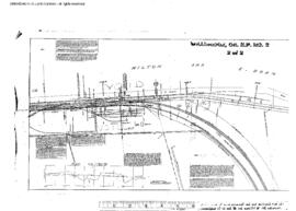
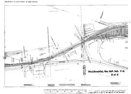
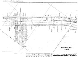
Plat Map of Northern Pacific facilities at Wilburton, Washington, January 1, 1909, Sheet Number 2, Line Segment 405, showing the Woodinville-Black River line.
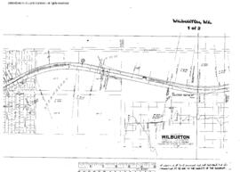
Plat Map of Northern Pacific facilities at Wilburton, Washington, January 1, 1909, Sheet Number 1, Line Segment 405, showing the Woodinville-Black River line.
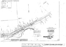
Plat Map of Northern Pacific facilities at Wilkeson, Washington, November 2, 1914, Sheet Number 1, Line Segment 415, showing the Carbonado-Cascade Junction line.
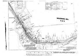
Plat Map of Northern Pacific facilities at Wilkeson, Washington, November 2, 1914, Sheet Number 2, Line Segment 415, showing the Carbonado-Cascade Junction line.
Plat Map of Northern Pacific facilities at Willapa, Washington, undated, Sheet Number 1, Line Segment 420, showing the Chehalis-South Bend line.
Plat Map of Northern Pacific facilities at Willapa, Washington, undated, Sheet Number 2, Line Segment 420, showing the Chehalis-South Bend line.
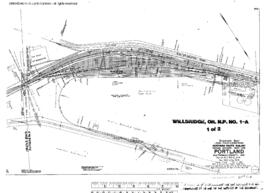
Plat Map of Northern Pacific facilities at Willbridge, Oregon, December 1, 1906, Sheet Number 1, Line Segment 440, showing the Willbridge-Seaside line.
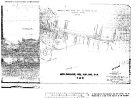
Plat Map of Northern Pacific facilities at Willbridge, Oregon, December 1, 1906, Sheet Number 2, Line Segment 440, 689, showing the Willbridge yard, Willbridge-Seaside line, Portland Gas spurs.
Plat Map of Northern Pacific facilities at Willbridge, Oregon, November 10, 1910, Sheet Number 1, Line Segment 440, 689, showing the Willbridge west end, Willbridge-Seaside line.
Plat Map of Northern Pacific facilities at Willbridge, Oregon, November 10, 1910, Sheet Number 2, Line Segment 440, 689, showing the Willbridge west end, Willbridge-Seaside line.
Plat Map of Northern Pacific facilities at Willbridge, Oregon, October 1, 1927, Sheet Number 1, Line Segment 689, showing the Willbridge yard, industry spurs.
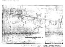
Plat Map of Northern Pacific facilities at Willbridge, Oregon, October 1, 1927, Sheet Number 2, Line Segment 689, showing the Willbridge yard, oil spurs.
Plat Map of Northern Pacific facilities at Willbridge, Oregon, October 1, 1927, Sheet Number 2, Line Segment 689, showing the Willbridge yard.
Plat Map of Northern Pacific facilities at Willbridge, Oregon, October 1, 1927, Sheet Number 1, Line Segment 689, showing the Willbridge yard.
Plat Map of Northern Pacific facilities at Willbridge, Oregon, August 13, 1942, Sheet Number 1, Line Segment 689, showing the Willbridge yard, industry spurs.
Plat Map of Northern Pacific facilities at Willbridge, Oregon, August 13, 1942, Sheet Number 2, Line Segment 689, showing the Willbridge yard, industry spurs.
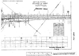
Plat Map of Northern Pacific facilities at Willow Creek, Montana, April 27, 1918, Sheet Number 1, Line Segment 326, showing the Logan-Butte line.
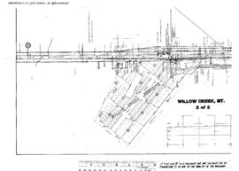
Plat Map of Northern Pacific facilities at Willow Creek, Montana, April 27, 1918, Sheet Number 2, Line Segment 326, showing the Logan-Butte line.
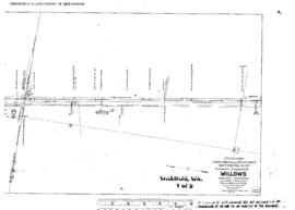
Plat Map of Northern Pacific facilities at Willows, Washington, June 27, 1915, Sheet Number 1, Line Segment 404, showing the North Bend-Woodinville line.
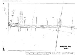
Plat Map of Northern Pacific facilities at Willows, Washington, June 27, 1915, Sheet Number 2, Line Segment 404, showing the North Bend-Woodinville line.
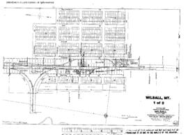
Plat Map of Northern Pacific facilities at Wilsall, Montana, July 9, 1917, Drawing Number 86623, Sheet Number 1, Line Segment 331, showing the Mission-Wilsall line.
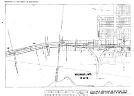
Plat Map of Northern Pacific facilities at Wilsall, Montana, July 9, 1917, Drawing Number 86623, Sheet Number 2, Line Segment 331, showing the Mission-Wilsall line.
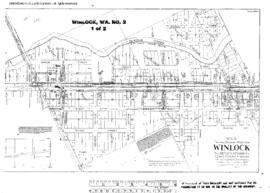
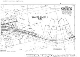
Plat Map of Northern Pacific facilities at Winlock, Washington, June 10, 1914, Sheet Number 1, Line Segment 52, showing the Tacoma-Vancouver line.
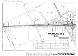
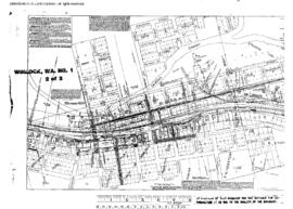
Plat Map of Northern Pacific facilities at Winlock, Washington, June 10, 1914, Sheet Number 2, Line Segment 52, showing the Tacoma-Vancouver line.
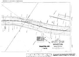
Plat Map of Northern Pacific facilities at Winston, Montana, December 6, 1932, Drawing Number 31059, Sheet Number 1, Line Segment 41, showing the Billings-Helena line.
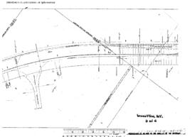
Plat Map of Northern Pacific facilities at Winston, Montana, December 6, 1932, Drawing Number 31059, Sheet Number 3, Line Segment 41, showing the Billings-Helena line.
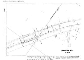
Plat Map of Northern Pacific facilities at Winston, Montana, December 6, 1932, Drawing Number 31059, Sheet Number 4, Line Segment 41, showing the Billings-Helena line.
Plat Map of Northern Pacific facilities at Winston, Montana, December 6, 1932, Drawing Number 31059, Sheet Number 2, Line Segment 41, showing the Billings-Helena line.