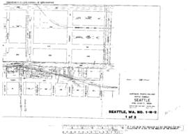
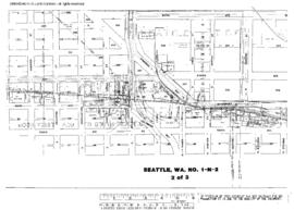
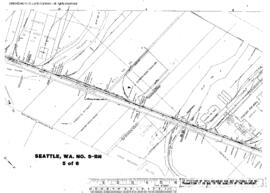
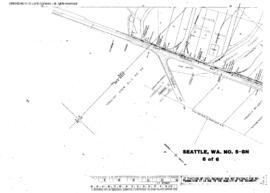
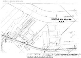
Plat Map of Northern Pacific facilities at Seattle, Washington, April 1, 1949, Sheet Number 1, showing the Harbor Island, north end, 16th Avenue Southwest, dock and industry spurs.
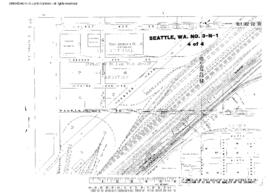
Plat Map of Northern Pacific facilities at Seattle, Washington, July 1, 1949, Sheet Number 1, Line Segment 403, showing the Seattle-Sumas line, Interbay, 12th Avenue West-15th Avenue West.
Plat Map of Northern Pacific facilities at Seattle, Washington, January 1, 1949, Sheet Number 4, Line Segment 51, showing the Seattle-Tacoma line, Argo Yard.
Plat Map of Northern Pacific facilities at Seattle, Washington, April 1, 1949, Sheet Number 2, showing the Harbor Island, 16th Avenue Southwest, dock and industry spurs.
Plat Map of Northern Pacific facilities at Seattle, Washington, November 1, 1949, Sheet Number 1, Line Segment 403, showing the Seattle-Sumas line, Elliott Avenue West, Smith Cove.
Plat Map of Northern Pacific facilities at Seattle, Washington, March 1, 1950, Sheet Number 1, Line Segment 430, showing the Seattle-Argo line, Shore line, Airport Way, brewery.
Plat Map of Northern Pacific facilities at Seattle, Washington, March 1, 1950, Sheet Number 3, Line Segment 430, showing the Seattle-Argo line, Shore line, South Bradford Street-South Alaska Street.
Plat Map of Northern Pacific facilities at Seattle, Washington, March 1, 1950, Sheet Number 2, Line Segment 430, showing the Seattle-Argo line, Shore line, South Stevens Street-South Andover Street.
Plat Map of Northern Pacific facilities at Seattle, Washington, May 23, 1952, Sheet Number 5, showing the East Marginal Way,ÿsouth end, industryÿspurs.
Plat Map of Northern Pacific facilities at Seattle, Washington, May 23, 1952, Sheet Number 6, showing the East Marginal Way, south end, industry spurs.
Plat Map of Northern Pacific facilities at Seattle, Washington, May 23, 1952, Sheet Number 3, showing the East Marginal Way, Boeing.
Plat Map of Northern Pacific facilities at Seattle, Washington, May 23, 1952, Sheet Number 1, showing the East Marginal Way, South Holly Street-South Orchard Street, industry spurs.
Plat Map of Northern Pacific facilities at Seattle, Washington, May 23, 1952, Sheet Number 2, showing the East Marginal Way, industry spurs.
Plat Map of Northern Pacific facilities at Seattle, Washington, May 23, 1952, Sheet Number 4, showing the East Marginal Way, Boeing, steel spurs.
Plat Map of Northern Pacific facilities at Seattle, Washington, November 1, 1953, Sheet Number 3, Line Segment 51, showing the Seattle-Tacoma line,ÿAirport Way, south Seattle.
Plat Map of Northern Pacific facilities at Seattle, Washington, November 1, 1953, Sheet Number 4, Line Segment 51, showing the Seattle-Tacoma line, Airport Way, south Seattle.
Plat Map of Northern Pacific facilities at Seattle, Washington, November 1, 1953, Sheet Number 1, Line Segment 51, showing the Seattle-Tacoma line, Airport Way, south Seattle.
Plat Map of Northern Pacific facilities at Seattle, Washington, November 1, 1953, Sheet Number 2, Line Segment 51, showing the Seattle-Tacoma line, Airport Way,ÿsouth Seattle.
Plat Map of Northern Pacific facilities at Seattle, Washington, March 24, 1954, Sheet Number 2, Line Segment 403, showing the Seattle-Sumas line, waterfront, Vine Street-Pike Street, North Portal, dock spurs.
Plat Map of Northern Pacific facilities at Seattle, Washington, March 24, 1954, Sheet Number 4, Line Segment 403, showing the Seattle-Sumas line, waterfront, Madison Street-Railroad Way, dock spurs.
Plat Map of Northern Pacific facilities at Seattle, Washington, March 24, 1954, Sheet Number 1, Line Segment 403, showing the Seattle-Sumas line, waterfront, Battery Street-Bay Street, dock spurs.
Plat Map of Northern Pacific facilities at Seattle, Washington, March 24, 1954, Sheet Number 3, Line Segment 403, showing the Seattle-Sumas line, waterfront, Pike Street-Main Street, dock spurs.
Plat Map of Northern Pacific facilities at Seattle, Washington, undated, Sheet Number 1, Line Segment 622, showing the King Street Station, Northern Pacific and Great Northern freighthouses,ÿUnion Station.
Plat Map of Northern Pacific facilities at Seattle, Washington, undated, Sheet Number 2, Line Segment 622, showing the King Street Station, Northern Pacific and Great Northern freighthouses, team tracks, Union Station.
Plat Map of Northern Pacific facilities at Seattle, Washington, undated, Sheet Number 4, Line Segment 430, 623, showing the Seattle-Argo line, SpokaneÿYard, Spokane Street line, East Marginal Way, industry and dock spurs.
Plat Map of Northern Pacific facilities at Seattle, Washington, undated, Sheet Number 1, showing the West Seattle, Iowa Avenue Southwest,ÿindustry spurs.
Plat Map of Northern Pacific facilities at Seattle, Washington, undated, Sheet Number 2, showing the West Marginal Way, industry spurs.
Plat Map of Northern Pacific facilities at Seattle, Washington, undated, Sheet Number 2, Line Segment 51, showing the Seattle-Tacoma line, south Seattle.
Plat Map of Northern Pacific facilities at Seattle, Washington, undated, Sheet Number 3, Line Segment 622, showing the King Street, coach yard, team tracks, Union Station leads.
Plat Map of Northern Pacific facilities at Seattle, Washington, undated, Sheet Number 1, Line Segment 403, showing the Seattle-Sumas line, waterfront, South Dearborn Street-South Atlantic Street, dock spurs.