US MnSpGNR D0237A-003-012-003-GNRHSCD337
·
Item
·
1894
Part of Great Northern Railway Historical Society Cascade Division Collection
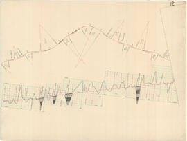
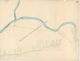
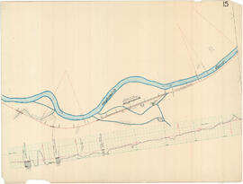
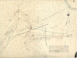
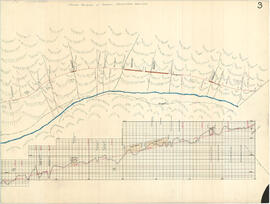
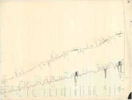
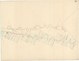
Great Northern Profile Map 10, Cascade Summit to Skykomish, Washington, 1894. Original drawings in this series are heavy cardboard with cloth backing. A.B. Wilse produced a rolled map from Stevens Pass summit to Skykomish - these seem to be the base drawings. From the Great Northern Railway Historical Society Archive at the Jackson Street Roundhouse, Saint Paul, Minnesota.