US MnSpGNR E0045A-003-012-002-JSBP0067
·
Item
·
1916
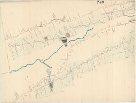
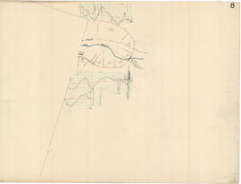
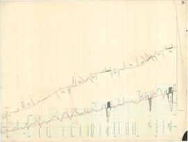
Part of Great Northern Railway- Blueprint-Authorization for Expenditure Collection
Great Northern Railway Historical Society Blueprint Collection JSBP0067, Allouez, Wisconsin, 1916. Great Northern Blueprint Number No 17, Saunders - Allouez Section, Ore Docks. Superior Number 17 Map. Authorization for Expenditure 14663. Interstate Commerce Commission Account Number 24, Coal and Ore Wharves. Other ICC account descriptions: ICC Account Number 24, Ore Dock.