US MnSpGNR E0477-003-012-002-EBP4257
·
Item
·
1937
Part of BNSF Maps, Drawings and Records Collection
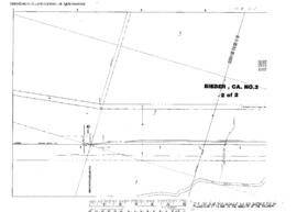
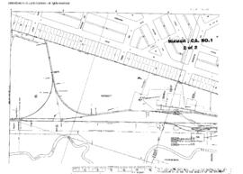
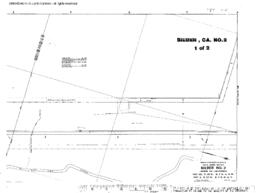
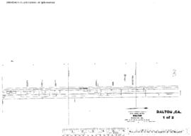
Great Northern Blueprint Number 1216-24-9, map of Tionesta, 1937. Other subject categories: Filing Map